Kentucky State Fairgrounds (Louisville-Jefferson County, Kentucky)
USA /
Kentucky /
Shively /
Louisville-Jefferson County, Kentucky
World
/ USA
/ Kentucky
/ Shively
World / United States / Kentucky
historical layer / disappeared object
Add category
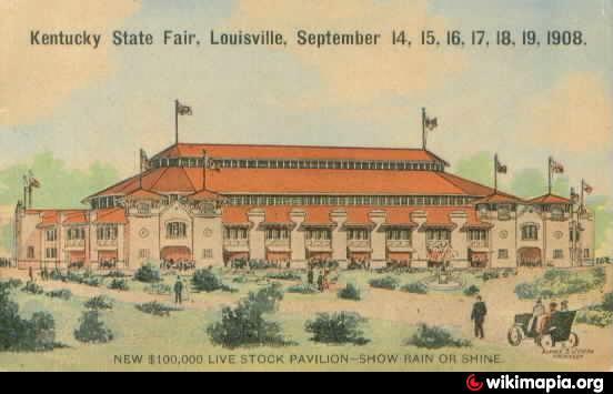
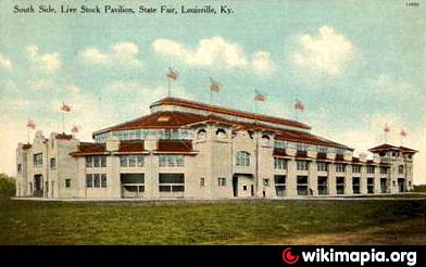
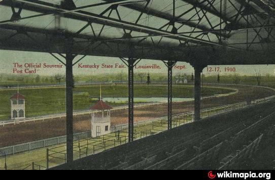
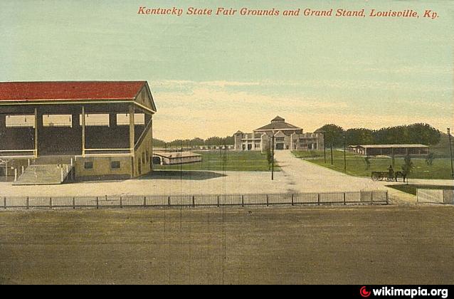

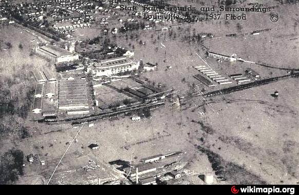
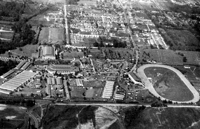
Site of the Kentucky State Fair from 1908 to 1956.
Nearby cities:
Coordinates: 38°14'11"N 85°49'26"W
- Town of Ohio Falls (1854-1875) 7.3 km
- Clarksville Airport 10 km
- Camp Powers 10 km
- Heritage Creek, Kentucky 14 km
- Hamburg, Indiana 17 km
- Indiana Army Ammunition Plant 28 km
- Track of March, 2012 Tornado 35 km
- Former Railroad Bed 41 km
- Dog Walk Civil War Battlefield 76 km
- former site of Burnside 175 km
- Chickasaw neighborhood 0.8 km
- West End 2.7 km
- Shawnee neighborhood 3 km
- California neighborhood 3.8 km
- Russell neighborhood 3.9 km
- Portland neighborhood 4.4 km
- St. Dennis 5.5 km
- Ohio River Greenway 6.3 km
- Floyd County, Indiana 9 km
- Clark County, Indiana 25 km