Ile de Tatihou
France /
Basse-Normandie /
Saint-Vaast-la-Hougue /
World
/ France
/ Basse-Normandie
/ Saint-Vaast-la-Hougue
France / World / Basse-Normandie / Manche / Cherbourg / Sainte-Mère-Église
island
Add category
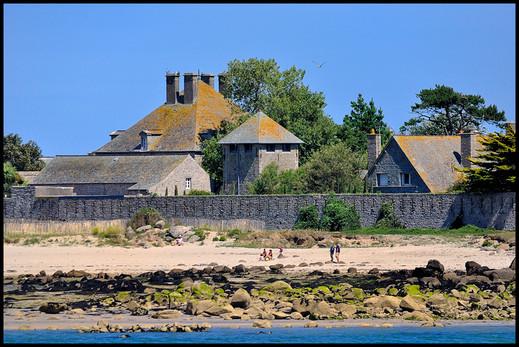

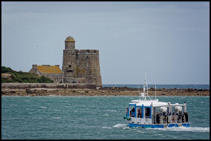
The Island of Tatihou is essentially uninhabited, but houses a maritime museum and fort. An amphibious ferry connects the island to St. Vaast-la-Hougue. The island is also accessible by foot at low tide through a road in the oyster beds known as "Le Run".
Nearby cities:
Coordinates: 49°35'20"N 1°14'39"W
- Alderney 73 km
- Jersey 82 km
- Sark 84 km
- Guernsey 104 km
- Isle of Wight 133 km
- Portsea Island 139 km
- Isle of Portland 140 km
- Hayling Island 140 km
- Lundy Island 303 km
- Ramsey Island 386 km
- Port of St. Vaast-la-Hougue 1.4 km
- Jonville beach 2.3 km
- Camping Municipal de Jonville 2.4 km
- Oyster farms 3.1 km
- Wreck of USS YMS-304 4.4 km
- Fontenay-sur-Mer 12 km
- Saint-Marcouf 13 km
- Saint-Germain-de-Tournebut 13 km
- Montebourg 14 km
- Saint-Floxel 14 km