Fort Sutonda
India /
Maharashtra /
Pachora /
World
/ India
/ Maharashtra
/ Pachora
World / India / Maharashtra / Aurangabad
ruins, cave / caves, fortification, listed building / architectural heritage, stone/rock feature, historic ruins
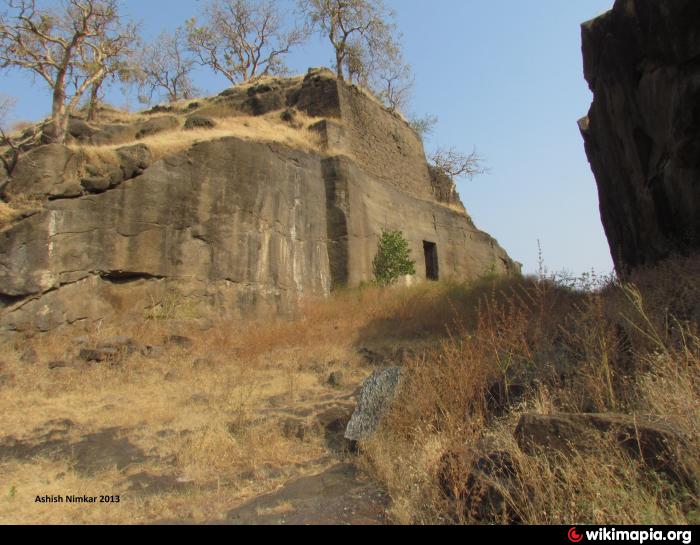
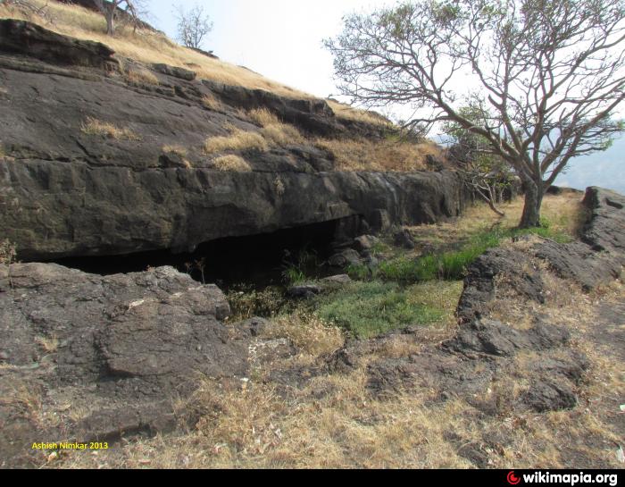

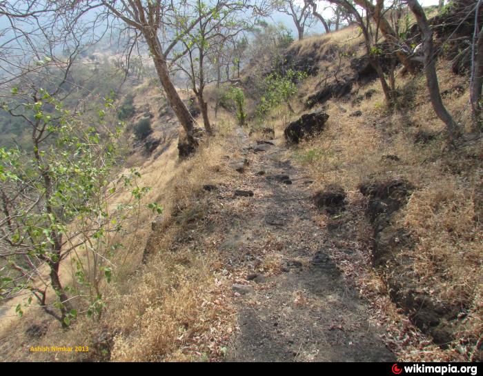

This is small hill fort also know as Fort of Naigaon named after Naigaon village at the base. Here we observe lot of water tanks carved within rock of fort. Easy way leads to summit of fort from east side edge with steps carved in rock. Its entrance is like tunnel carved in rock.
We also find small lake on fort. There are many cave like rock carved water filled places seen on this fort. Fort is located at West side of Ajanta-satmala range. In West of this fort village Banoti is connected by Road to other towns of District. Banoti is 3 kilometers away from fort.
We also find small lake on fort. There are many cave like rock carved water filled places seen on this fort. Fort is located at West side of Ajanta-satmala range. In West of this fort village Banoti is connected by Road to other towns of District. Banoti is 3 kilometers away from fort.
Nearby cities:
Coordinates: 20°28'9"N 75°21'17"E
- Daulatabad 59 km
- Kille Chandavad 116 km
- Kille Indrai 121 km
- Kille Koldher 125 km
- Kille Mulher & Mora 140 km
- Kille Dhodap 140 km
- Hargad fort 142 km
- Fort Salher (1567m) 151 km
- Fort Patta 180 km
- Alang Gad (1479m) 203 km
- Vartdhan, Dam 3.7 km
- satgaon lake 8 km
- Gondegaon Dam 8.1 km
- Kini Dam 9 km
- Satgaon (Dongri) 9 km
- Kini Dam 12 km
- Hivra Dam 13 km
- Galathi dam 14 km
- new dam 16 km
- KUNALRAJE DESHMUKH FARM 18 km