Wednesfield
United Kingdom /
England /
Featherstone /
World
/ United Kingdom
/ England
/ Featherstone
World / United Kingdom / England
town, district, urban/built-up area
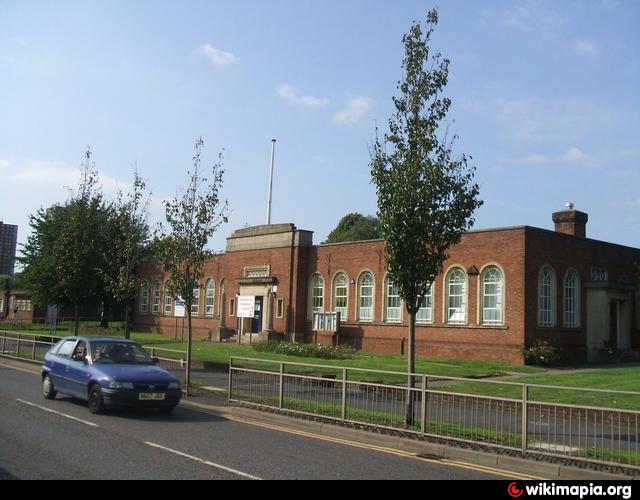


Wednesfield is a town within the city of Wolverhampton, West Midlands. It is 2 miles (3.2 km) east-northeast of Wolverhampton city centre, and is part of the West Midlands conurbation. It is historically within the county of Staffordshire.
Its name comes from the Old English Wōdnesfeld meaning Woden's Field, open land belonging to, or holy to, the high god of the Germanic Pantheon (see motto to town crest above).Some sources have the correct vernacular pronunciation as "Wedgefield"
Following the Local Government Act 1894, the rump of the parish (minus Wednesfield Heath and part of what became Short Heath Urban District) became an urban district within the administrative county of Staffordshire.With the exception of a loss of 24 acres to the County Borough of Wolverhampton in 1933, the Urban District remained intact until 1966, when due to the provisions of the Local Government Act 1958, most of the Wednesfield Urban District was merged into Wolverhampton County Borough, though some parts were incorporated into Walsall County Borough and others into Cannock Rural District, now part of South Staffordshire district.In 1974 Wednesfield thus became a part of the newly created Metropolitan County of the West Midlands together with the rest of what is today the City of Wolverhampton.
In the early 1950s, Wolverhampton council developed two overspill estates - Ashmore Park and Long Knowle - in Wednesfield to rehouse families from slums in the town.For electoral purposes, Wednesfield is represented by the wards of Wednesfield North and Wednesfield South (see outline map above). Local areas include Ashmore Park and Wood End. There is also a formal garden at Wednesfield Park.
for more on the history of Wednesfield see@:
www.localhistory.scit.wlv.ac.uk/articles/Wednesfield/tw...
for detailed large-scale online map used in drawing attached polygon see @:
www.cartoplus.co.uk/wolverhampton_2/wlvhmptn.htm#
Wikipedia article: http://en.wikipedia.org/wiki/Wednesfield
Nearby cities:
Coordinates: 52°36'14"N 2°4'28"W
- Walsall 5.5 km
- Sutton Coldfield 12 km
- Telford 35 km
- Leicester 59 km
- Nottingham 70 km
- Metropolitan Borough of Stockport 94 km
- Warrington 101 km
- Huddersfield 121 km
- Doncaster 121 km
- York 168 km
- Post Codes WV12 & WV13 1.4 km
- Heath Town 2.6 km
- M6 Junction 10a 3.6 km
- Essington Civil Parish 3.9 km
- Hilton CP 4.2 km
- Featherstone CP 4.9 km
- South Staffordshire 5.4 km
- Saredon CP 6.2 km
- Walsall (Metropolitan Borough of) 6.7 km
- Brewood and Coven CP 9 km