Lock & Dam 20
USA /
Missouri /
La Grange /
World
/ USA
/ Missouri
/ La Grange
World / United States / Illinois
dam, lock (water navigation)

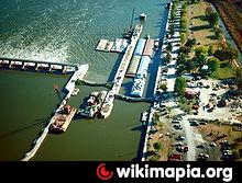

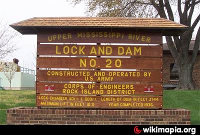

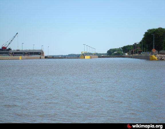

Lock and Dam No. 20 is a lock and dam located on the Upper Mississippi River, about one mile upstream from Canton, Missouri. It was constructed between 1932 and 1935 by the U.S. Army Corps of Engineers. The structure is located at river mile 343.1.
Wikipedia article: http://en.wikipedia.org/wiki/Lock_and_Dam_No._20
Nearby cities:
Coordinates: 40°8'36"N 91°30'39"W
- Lock & Dam 19 31 km
- Lock and Dam No. 12 254 km
- Lock and Dam No. 9 344 km
- Lock and Dam 7 415 km
- Lock & Dam 6 430 km
- Lock and Dam No. 5A 440 km
- Keenleyside Dam 2300 km
- McNary Lock and Dam 2338 km
- The Dalles Dam 2477 km
- Bonneville Dam 2541 km
- La Grange, Missouri 11 km
- Buck and Doe Run Conservation Area 13 km
- Wakonda State Park 15 km
- Spring Lake Country Club 19 km
- Rose Pond Conservation Area 21 km
- Neeper Conservation Area 29 km
- LaBelle Lake Conservation Area 34 km
- Frost Island Conservation Area 34 km
- Henry Sever Lake Conservation Area 43 km
- White Oak Bend Access 46 km