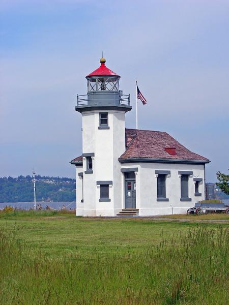
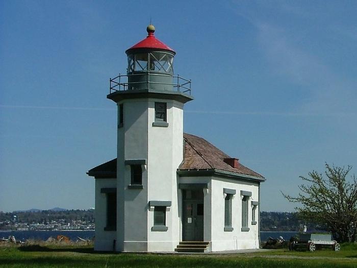
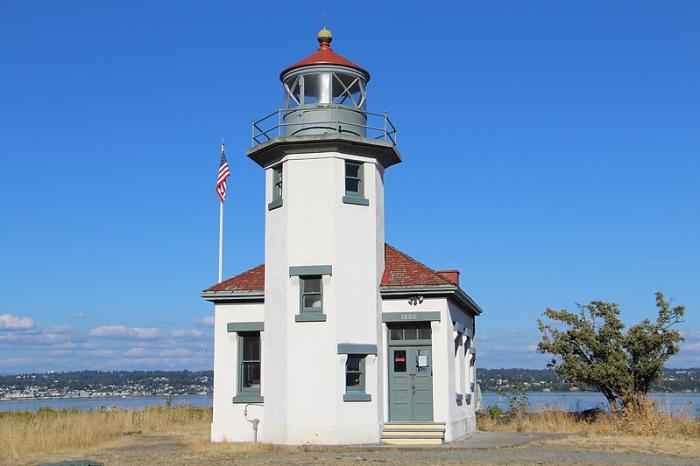
Point Robinson Light
USA /
Washington /
Normandy Park /
World
/ USA
/ Washington
/ Normandy Park
World / United States / Washington
lighthouse
Add category


Wikipedia article: http://en.wikipedia.org/wiki/Point_Robinson_Light
Nearby cities:
Coordinates: 47°23'17"N 122°22'27"W
- Merry Island 259 km
- Heceta Head Lighthouse, Devils Elbow State Park 386 km
- Santa Cruz (Gull Island) Aid to Navigation 1511 km
- Lake Minatare State Recreation Area and Historic Lake Minatare Lighthouse 1606 km
- Lantern Point 1620 km
- Beacon Hill 2063 km
- Smoky Point Lighthouse 2611 km
- Playa de la Isla de la Piedra 3046 km
- USCG Molokai Light 4253 km
- USCG La’au Point 4284 km
- Maury Island 4.1 km
- Quarter-Master Harbor 6.9 km
- Vashon Island 8.6 km
- DART 903 Service Area 10 km
- Browns Point 10 km
- Dalco Passage 13 km
- Commencement Bay 13 km
- Port of Tacoma 14 km
- Point Defiance Park 15 km
- Puyallup Indian Reservation 15 km