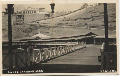
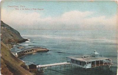
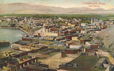
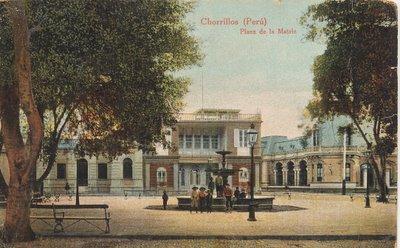
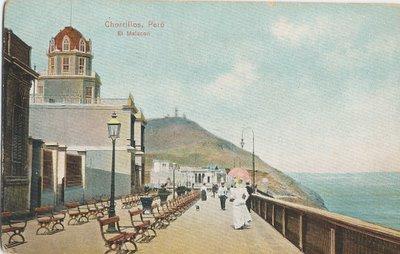
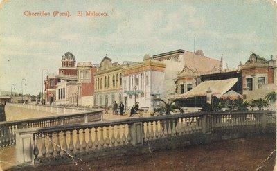
District of Chorrillos (Lima)
Peru /
Lima Provincias /
San Luis /
Lima
World
/ Peru
/ Lima Provincias
/ San Luis
World / Peru / Lima / Lima
district, draw only border
Wikipedia article: http://en.wikipedia.org/wiki/Chorrillos
Nearby cities:
Coordinates: 12°11'32"S 77°0'22"W
- District of Lurín 7.9 km
- District of Punta Negra 21 km
- District of Ate - Eastern Zone 22 km
- District of Cieneguilla 25 km
- District of San Juan de Lurigancho 38 km
- District of Ventanilla (Callao, Peru) 46 km
- Carabayllo District 58 km
- District of Ancón 72 km
- Huanchaco, Peru 536 km
- San Francisco de Quito 1357 km
- INS Biological products and chemicals storage facility 1.5 km
- Los Cedros de Villa 1.6 km
- Saint George's College 1.9 km
- La Encantada de Villa 2.3 km
- Armatambo Cross Pyramid 2.5 km
- Huaca La Lechuza 2.8 km
- Pantanos de Villa Wildlife Refuge 2.9 km
- Morro Solar 3 km
- Campo de Tiro 3.2 km
- District of Santiago de Surco 7.9 km