Arequipa, Peru
Peru /
Arequipa /
World
/ Peru
/ Arequipa
/ Arequipa
city, capital city of state/province/region, millionaire city


www.youtube.com/watch?v=sUQFMBJ09tY&feature=related
www.youtube.com/watch?v=u9tfZSlr4s4&feature=related
www.youtube.com/watch?v=4okvqK9e2Mw&feature=related
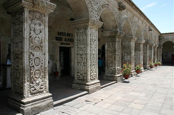
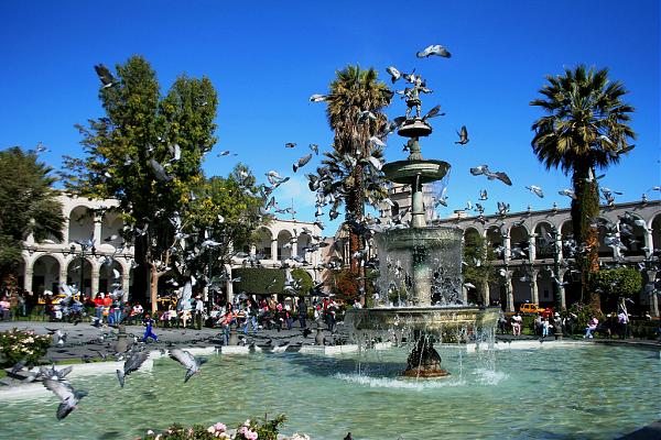
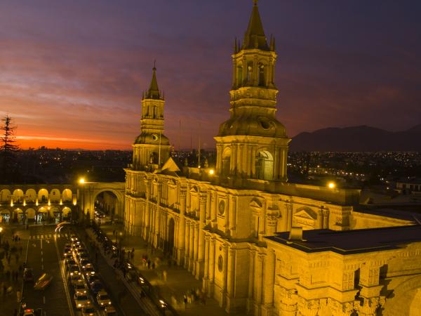
Arequipa, the intellectual capital of modern Peru, is a proud and prosperous city with some of the most beautiful colonial architecture in the country.
Arequipa is the capital of the Arequipa Region in southern Peru. With a population of around 800,000 it is the second most populous city of the country. Arequipa lies in the Andes mountains, at an altitude of 2,380 meters (7740 feet) above sea level, overseen by the snow-capped volcano El Misti. The city has many colonial-era Spanish buildings built of sillar, a pearly white volcanic rock, from which it gets the nickname La Ciudad Blanca ("The White City"). The historic centre of Arequipa was named a UNESCO world heritage site in 2000, in recognition of its architecture and historic integrity.
UNESCO World Heritage Centre -
whc.unesco.org/en/list/1016
PromPerú -
www.peru.info/e_ftociudadeseng.asp?pdr=648&jrq=3.4&ic=2...
Wikitravel -
wikitravel.org/en/Arequipa
Wikipedia article: http://en.wikipedia.org/wiki/Arequipa
Nearby cities:
Coordinates: 16°24'32"S 71°33'14"W
- Lima 800 km
- Campo Grande 1825 km
- Santiago 1883 km
- Goiânia 2359 km
- Palmas 2607 km
- Florianopolis 2660 km
- São Paulo 2698 km
- Rio de Janeiro 2989 km
- Belém do Pará 3044 km
- Teresina 3378 km
- Industrial area 1.3 km
- District of Arequipa 1.8 km
- Challapampa 2.5 km
- District of Yanahuara 3.6 km
- District of Sachaca 3.7 km
- District of Jose Luis Bustamante y Rivero 4.2 km
- District of Jacobo Hunter 4.9 km
- District of Tiabaya 6.5 km
- District of Cerro Colorado 6.8 km
- District of Cayma 7 km
Comments