Saviour Hill (Vilnius)
Lithuania /
Vilniaus /
Vilnius
World
/ Lithuania
/ Vilniaus
/ Vilnius
World / Lithuania / Vilniaus
park, hill, panoramic view
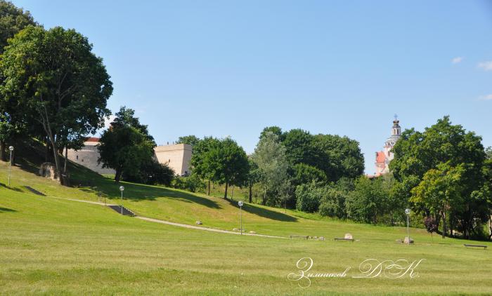
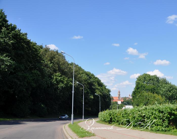
Scenic hill is situated in the southeastern part of Vilnius Old Town. Buildings of Vilnius missionary monastery are lying on the top of the hill.
Nearby cities:
Coordinates: 54°40'37"N 25°17'44"E
- Altana Hill 0.9 km
- Békés hill 1.1 km
- Table Hill 1.2 km
- Kreivasis (Plikasis) hill 1.3 km
- Pamėnkalnis 2.2 km
- Laimis hill 2.3 km
- Rokantiškės hill 5.8 km
- Juozapinė Hill 27 km
- Kernavė mounds 37 km
- Liškiava mound 105 km
- Vilnius Correction House 0.3 km
- Honest's Palace 0.3 km
- Vilnius Discalced Carmelites monastery buildings ensemble 0.4 km
- Senamiestis eldership 0.6 km
- Paupys 0.6 km
- Užupis 0.8 km
- Vilnius Station district 1.7 km
- Naujamiestis eldership 1.7 km
- Rasos eldership 3.3 km
- Vilnius district municipality 15 km