Highest Point
| summit, interesting place
Malaysia /
Sabah /
Kota Kinabalu /
World
/ Malaysia
/ Sabah
/ Kota Kinabalu
World / Malaysia / Sabah
summit, interesting place
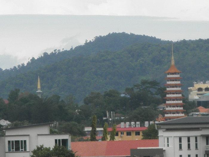
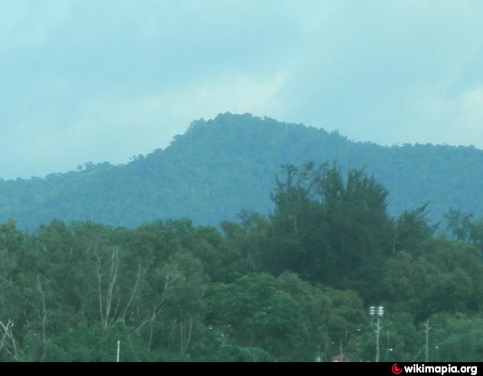
Visitors to Gaya Island can choose to hike up to this peak, which takes about two hours (1.58 km) from Base Camp. The trail is more of an uphill trek with dense vegetation surrounding it. Despite its name - Highest Point, it is not actually the highest peak on Gaya Island. It is 298 metres above sea level and is just 6 metres lower from the true highest point on the island. Visitors should also not be fooled by its name - there is no view over the sea or towards KK city from here as tall trees surround the peak in all directions. A telecommunication tower is erected here.
Nearby cities:
Coordinates: 6°1'8"N 116°1'32"E
- Castle Peak 22 km
- Constance Peak, Kalimantan Utara, Indonesia 278 km
- Escarpado Peak 326 km
- Victoria Peaks 449 km
- Mount Aborlan 474 km
- Mt. Peel, Palawan 534 km
- Mount Sinumaan 560 km
- Puno Mahaji 670 km
- Mt. Liyang (1665 m) 684 km
- Mount Agumid 936 km
- Gaya Island 1.1 km
- Bunga Raya Island Resort & Spa 1.2 km
- Tanjung Merangis 1.2 km
- Tanjung Tavajun 1.9 km
- Mangrove 2.2 km
- Tunku Abdul Rahman National Park 2.2 km
- Gaya Island Resort 2.3 km
- Tanjung Bulijong 2.4 km
- Gayana Island Resort 2.8 km
- Tanjung Logong 3.9 km