Tanjung Logong
| point of land
Malaysia /
Sabah /
Kota Kinabalu /
World
/ Malaysia
/ Sabah
/ Kota Kinabalu
World / Malaysia / Sabah
point of land
Add category
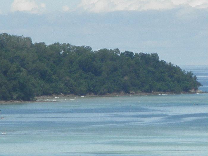
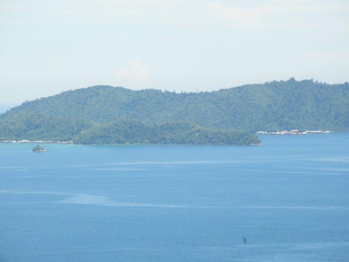
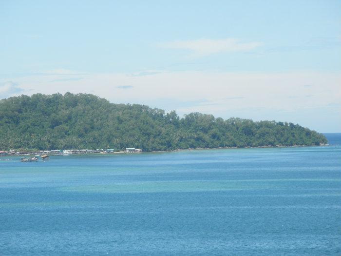
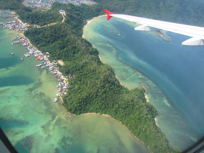
One of the points on Gaya Island, facing north. It is visible from the mainland. There are some settlements at the south eastern part. The rest of the point is undeveloped and is covered in dense jungle.
Nearby cities:
Coordinates: 6°0'40"N 116°3'36"E
- Tanjung Tavajun 3.8 km
- Tanjung Bulijong 7.2 km
- Bahia Honda Point, Palawan 439 km
- Tanjung Senyangang 746 km
- Giligaon Point 831 km
- Cauitan Point 832 km
- Cape Encanto 1242 km
- Tanjung Liliamaceceke 1426 km
- Tanjung Pinang 1448 km
- Tanjung Posi-posi 1454 km
- MERC 1 km
- Quaters 1.1 km
- Gayana Island Resort 1.2 km
- Alu Alu Restaurant 1.3 km
- Gaya Island Resort 1.7 km
- Mangrove 1.8 km
- Tanjung Tavajun 2.4 km
- Gaya Island 2.8 km
- Tunku Abdul Rahman National Park 4.4 km
- Bunga Raya Island Resort & Spa 4.9 km