Kavnai Fort
India /
Maharashtra /
Ghoti /
World
/ India
/ Maharashtra
/ Ghoti
World / India / Maharashtra / Nashik
fort
Add category
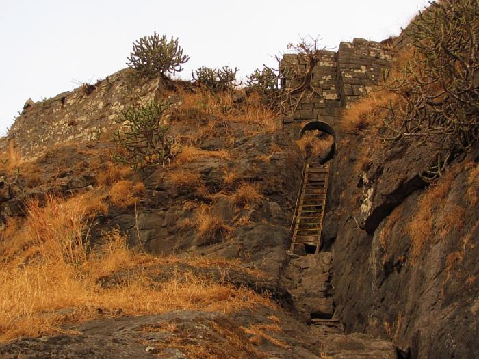
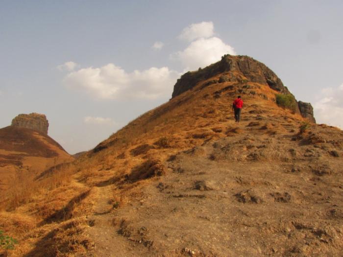
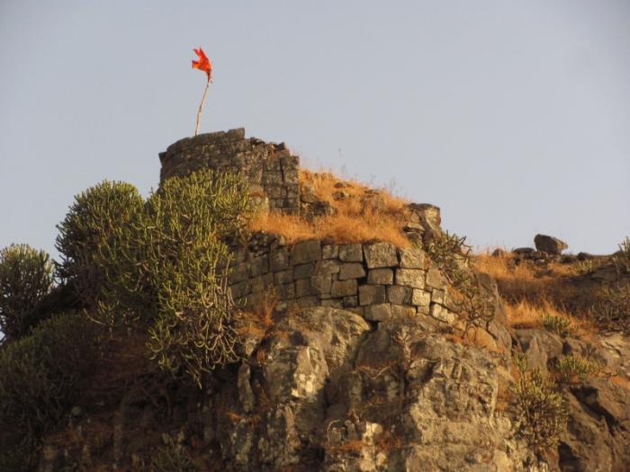
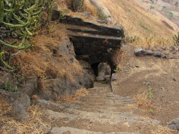
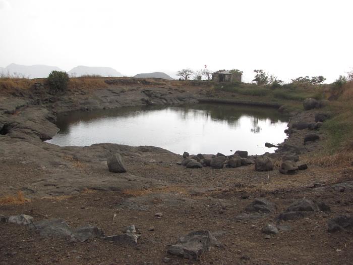
Kavnai(Ka'vnai) Fort stands ten miles north of Igatpuri, two miles west of the railway line, midway between the Ghoti and Bailgaon stations of the Peninsula Railway. The fort, which is said to have been built by the Moghals, was ceded to the Peshwa by the Nizam in virtue of a treaty concluded after the battle of Udgir (1760) When the Marathas were defeated at Trimbak in 1818, Kavnai, like Tringalvadi and fifteen other neighbouring forts, fell without a struggle to the British. [Blacker's Maratha War, 322 note 2.] Captain Briggs who visited it after its surrender found two houses at the foot of the hill where the garrison lived. The ascent was easy till the scarp was reached. The scarp, though not very high, was nearly perpendicular and was climbed by bad rock-cut steps. There was only one tolerable gate. The top of the fort was small with an ample water supply and good houses for the garrison.
Nearby cities:
Coordinates: 19°46'24"N 73°37'8"E
- Alang Gad (1479m) 21 km
- Fort Patta 23 km
- Kille Dhodap 81 km
- Kille Koldher 89 km
- Kille Indrai 90 km
- Kille Chandavad 92 km
- Fort Salher (1567m) 111 km
- Hargad fort 118 km
- Kille Mulher & Mora 119 km
- Daulatabad 168 km
- Reservoir of Waki Dam 4.7 km
- budhya Peak 4.7 km
- Mukane Dam Reservoir 4.7 km
- wanjole 4.9 km
- GhotiWadi 5.7 km
- Gabhadya Hill 6 km
- Jyoti Structures Ltd. Tower Testing Station ( R & D )- Ghoti 6.4 km
- Saturli 6.6 km
- Mhalunga hill 8.7 km
- Upper Vaitarna Reservoir 14 km
Comments