The Connecting Path (Jerusalem)
Israel /
Jerusalem /
Mevasserat Ziyyon /
Jerusalem /
הר הרצל
World
/ Israel
/ Jerusalem
/ Mevasserat Ziyyon
World / Israel
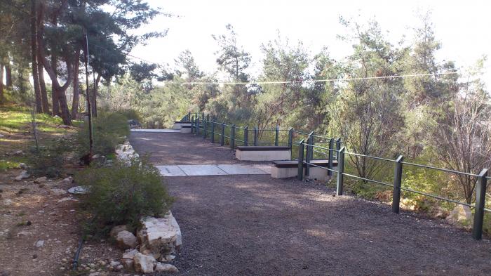
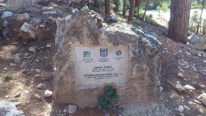

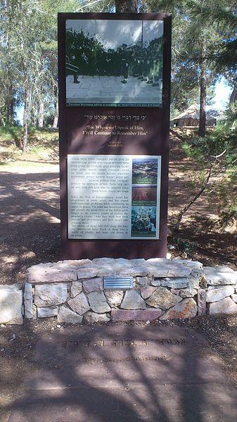
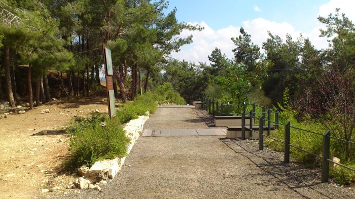

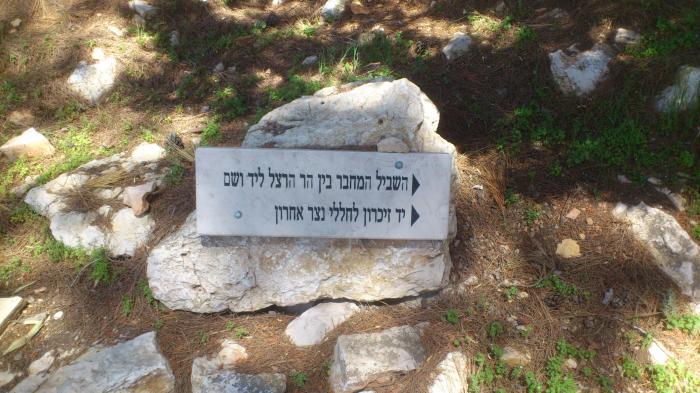
The memorial path was designed by the architect Uri Abramson was built by Israeli youth organizations in 2003. It tells the story of the birth of the state of Israel, from the beginning of the Zionism until the declaration of the state. The path runs from the National Civil Cemetary to Yad Vashem.
Nearby cities:
Coordinates: 31°46'26"N 35°10'42"E
- Yad Sarah 0.7 km
- Yad Sarah מרכז יד שרה 0.7 km
- Alyn (Alin) Hospital 1.1 km
- David Yellin College 1.4 km
- Life Science Institute 1.7 km
- Givat Ram Amphitheater 1.9 km
- Prime Minister's Residence 2.1 km
- CITADIS warehouse - Kiryat Haleom 2.2 km
- Diskin Orphanage 2.4 km
- Motza turn 2.6 km
- Mount Herzl 0.7 km
- Jerusalem Forest 1.1 km
- Kiryat Hayovel 1.5 km
- Kiryat HaLeom 2.5 km
- Gonen (Katamon) 3 km
- City Center 3.4 km
- Gush Etzion 12 km
- Mateh Binyamin 19 km
- Judea and Samaria ("West Bank") 20 km
- Judea 23 km