Sivriburun Cape
| cape (geography)
Romania /
Constanta /
Limanu /
World
/ Romania
/ Constanta
/ Limanu
World / Bulgaria / Dobrich
cape (geography), invisible
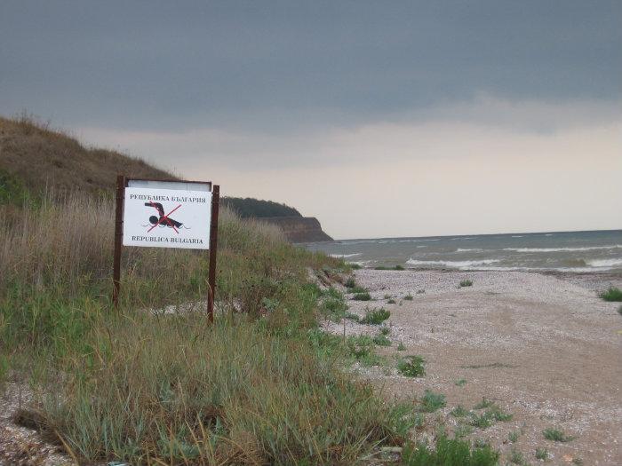
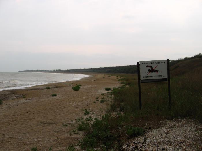
It marks the border between Romania and Bulgaria. The name is of Turkish origin, being translated as "the pointed cape or "sharp cape".
The Sivriburun Cape is the northernmost cape at the Bulgarian Black Sea. Its height is approximately 20 m. It is just before the border with Romania. Next to it the "Durankulak - North 1" beach is.
kilometri.bg/en/view/cape-sivriburun
audiotravelguide.ro/en/sivriburun-cape-durankulak/
The Sivriburun Cape is the northernmost cape at the Bulgarian Black Sea. Its height is approximately 20 m. It is just before the border with Romania. Next to it the "Durankulak - North 1" beach is.
kilometri.bg/en/view/cape-sivriburun
audiotravelguide.ro/en/sivriburun-cape-durankulak/
Nearby cities:
Coordinates: 43°44'19"N 28°34'41"E
- Cape Kaliakra 41 km
- Ceatalul Ismail 168 km
- Cape of Limankoy 208 km
- Cape Malyi Fontan 348 km
- Cape Aja 412 km
- Kaldan Cape 464 km
- Ai-Foka Cape 513 km
- Meganom Cape 529 km
- Fonar cape 665 km
- Red Lighthouse Cape 1005 km
- Bulgarian-Romanian State Border Line 0.9 km
- Vama Veche beach 1.6 km
- Durankulak North Beach 1 (The Ship) 1.9 km
- Former Military Area 3.7 km
- Ezero Durankulak PZ Habitat Directive 6.3 km
- Commune of Limanu 6.7 km
- "Durankulashko Ezero" PZ Bird Directive 6.8 km
- Durankulak Lake Ramsar Site 7.1 km
- Shabla Municipality 16 km
- Dobrich Province 55 km