Shabla Municipality
Bulgaria /
Dobric /
Sabla /
World
/ Bulgaria
/ Dobric
/ Sabla
, 6 km from center (Шабла)
World / Bulgaria / Dobrich
municipality, draw only border
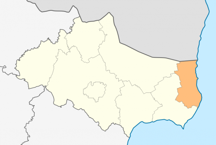
Shabla Municipality (Bulgarian: Община Шабла) is a municipality (obshtina) in Dobrich Province, Bulgaria, located in the north-easternmost part of the country on the Northern Bulgarian Black Sea Coast in Southern Dobruja geographical region, bounded by Romania to the north. It is named after its administrative centre - the town of Shabla.
Wikipedia article: http://en.wikipedia.org/wiki/Shabla_Municipality
Nearby cities:
Coordinates: 43°36'11"N 28°30'20"E
- Kavarna Municipality 24 km
- General Toshevo Municipality 71 km
- Çatalca (District) 227 km
- Arnavutköy (District) 245 km
- Silivri District 253 km
- Eyüp (District) 257 km
- Sarıyer District 263 km
- Şile District 274 km
- Büyükçekmece (District) 276 km
- Çekmeköy (District) 280 km
- Ezerets Airfield 1.2 km
- Wild patitsa 2.4 km
- Lake Ezeretsko Blato (Ezerets Marsh) 4.9 km
- "Shablensko Ezero" Protected Site 5.7 km
- "Shablenski Ezeren Complex" Protected Zone 5.9 km
- Ezero Shabla - Ezerets PZ 6.1 km
- Lake Shablеnsko Blato (Shabla Marsh) 6.1 km
- "Durankulashko Ezero" PZ Bird Directive 9 km
- Krapets - Durankulak Beach Curve 9 km
- Ezero Durankulak PZ Habitat Directive 10 km
Ezerets Airfield
Wild patitsa
Lake Ezeretsko Blato (Ezerets Marsh)
"Shablensko Ezero" Protected Site
"Shablenski Ezeren Complex" Protected Zone
Ezero Shabla - Ezerets PZ
Lake Shablеnsko Blato (Shabla Marsh)
"Durankulashko Ezero" PZ Bird Directive
Krapets - Durankulak Beach Curve
Ezero Durankulak PZ Habitat Directive