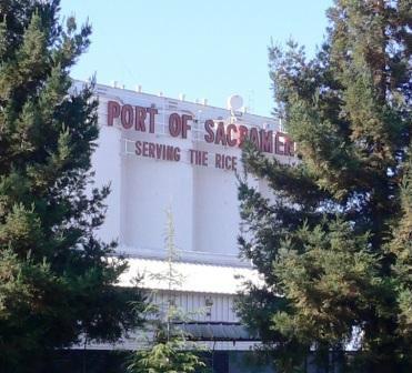
Port of Sacramento (West Sacramento, California)
USA /
California /
West Sacramento /
West Sacramento, California /
Industrial Boulevard
World
/ USA
/ California
/ West Sacramento
World / United States / California
seaport
Add category
Opened in 1963.
westsac.wikispot.org/Port_of_Sacramento
westsac.wikispot.org/Port_of_Sacramento
Wikipedia article: http://en.wikipedia.org/wiki/Port_of_Sacramento
Nearby cities:
Coordinates: 38°33'57"N 121°32'48"W
- Los Angeles-Long Beach Port Complex 608 km
- Port of Tacoma 973 km
- Quarter-Master Harbor 987 km
- Port of Brownsville 2655 km
- Manzanillo 2723 km
- Port of Altamira 2867 km
- Bahias de Huatulco 3540 km
- Salina Cruz 3573 km
- Ciudad del Carmen 3620 km
- Pearl Harbor 3964 km
- Washington Lake 0.5 km
- Westmore Oaks Elementary School 1.1 km
- River City High School 2.4 km
- Miller Park 2.6 km
- The Triangle Area 2.9 km
- Marina Vista Public Housing 3.1 km
- I-5 / US Route 50 Interchange 3.2 km
- Downtown 4.5 km
- Sacramento Deep Water Shipping Channel 19 km
- Northern Delta 25 km