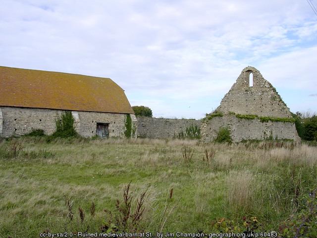
Tithe barn
United Kingdom /
England /
Hythe /
World
/ United Kingdom
/ England
/ Hythe
World / United Kingdom / England
barn, historical building
www.geograph.org.uk/photo/60483
Street View - maps.google.co.uk/maps?q=st+leonards+grange,+hampshire&...
Street View - maps.google.co.uk/maps?q=st+leonards+grange,+hampshire&...
Nearby cities:
Coordinates: 50°46'53"N 1°25'29"W
- Exbury Gardens 2.6 km
- East Boldre Airfield / RFC Beaulieu / New Forest Flying School 4.7 km
- Beaulieu Airfield 5.6 km
- Lymington River Marshes 6.6 km
- Roundhill Camp Site 8.2 km
- The Solent 8.8 km
- Calbourne Parish 9 km
- Brockenhurst Grammar School 11 km
- Isle of Wight 14 km
- New Forest National Park 15 km