Place Charles de Gaulle (Place de l'Étoile) (Paris)
France /
Ile-de-France /
Levallois-Perret /
Paris
World
/ France
/ Ile-de-France
/ Levallois-Perret
France / World / Île-de-France / Paris / Paris, 16e arrondissement / Paris, 16e arrondissement
square, interesting place, road junction
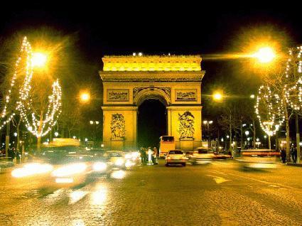
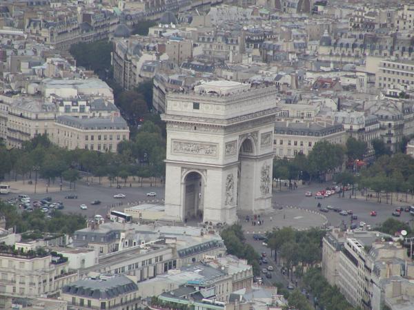
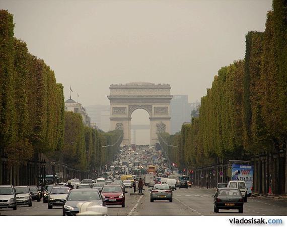
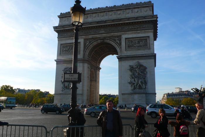

The Place de l'Étoile is a large road junction in Paris, France, the meeting point of twelve straight avenues (hence the name "Star Square") including the Champs-Élysées which continues to the east. It was renamed Place Charles de Gaulle in 1970 in honor of President de Gaulle, but is still largely referred to by its original name.
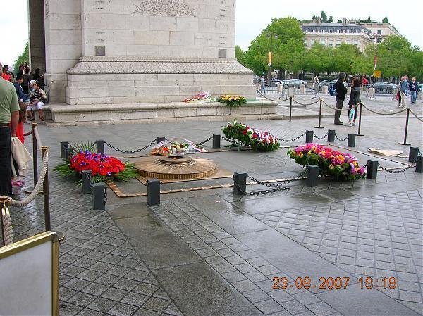
The place lies in the middle of the Axe historique and at its centre stands the Arc de Triomphe.
Place de l'Étoile and the avenues leading to it were extensively redesigned as part of Baron Haussmann's urban planning projects.
The twelve avenues, clockwise from the north, are:
1. Avenue de Wagram, thus called since the Second French Empire, and boulevard de l'Étoile or boulevard Bezons before
2. Avenue Hoche: avenue de la Reine-Hortense during the Second Empire and boulevard Monceau before
3. Avenue de Friedland since the Second Empire and boulevard Beaujon before
4. Avenue des Champs-Élysées
5. Avenue Marceau: avenue Joséphine during the Second Empire
6. Avenue d'Iéna
7. Avenue Kléber: avenue du Roi-de-Rome during the Second Empire and boulevard de Passy before
8. Avenue Victor Hugo: avenue d'Eylau during the Second Empire and avenue de Saint-Cloud before
9. Avenue Foch: avenue du Bois (de Boulogne) during the Third Republic and avenue de l'Impératrice during the Second Empire
10. Avenue de la Grande-Armée during the Second Empire and avenue de Neuilly before
11. Avenue Carnot: avenue d'Essling during the Second Empire
12. Avenue Mac-Mahon: avenue du Prince-Jérôme during the Second Empire
Wikipedia article: http://en.wikipedia.org/wiki/Place_Charles_de_Gaulle
Nearby cities:
Coordinates: 48°52'25"N 2°17'42"E
- Jardins des Champs-Élysées 1.2 km
- Place de la Concorde 1.9 km
- Batignolles garden 2.2 km
- Jardins du Ranelagh 2.5 km
- Place du Carrousel 3 km
- Place de la République 4.9 km
- Garden of Arsenal 5.8 km
- Place d'Italie 6.3 km
- Holiday Square 7.1 km
- Place de la Nation 7.7 km
- Avenue Foch 0.7 km
- Avenue des Champs-Élysées 1 km
- Golden Triangle 1 km
- Palais de Tokyo 1.1 km
- 8th arrondissement (Elysèe) 1.2 km
- Parc Monceau 1.2 km
- Boulevard Périphérique 1.3 km
- 17th arrondissement (Batignolles) 1.7 km
- Boulevard Haussmann 2.1 km
- 16th arrondissement (Passy) 3 km
Comments