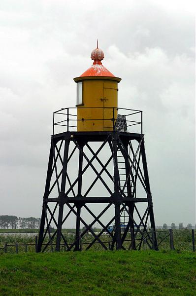
Nieuwendijk Lightstand (leading light front)
Netherlands /
Zuid-Holland /
Oostflakkee /
Nieuwendijk
World
/ Netherlands
/ Zuid-Holland
/ Oostflakkee
World / Netherlands / Zuid-Holland
lighthouse, leading beacon
Nearby cities:
Coordinates: 51°45'2"N 4°19'23"E
- Scheveningen pier 41 km
- Trinity House Lightvessel 17 (LV 17) 165 km
- Lightvessel Sunk 176 km
- North Foreland Lighthouse 204 km
- Gunfleet Lighthouse 206 km
- The Drop Redoubt 221 km
- Royal Sovereign Lighthouse 294 km
- The Belle Tout Lighthouse 308 km
- Trinity House Lightvessel 5 (LV 5) 336 km
- Sémaphore de Fécamp 355 km
- Nieuwendijk 0.6 km
- Tiengemeten 1.6 km
- Zuid-Beijerland 3 km
- Wind turbine 5.3 km
- Hoeksche Waard (municipality) 7 km
- Haringvliet 7.4 km
- Hoeksche Waard 7.5 km
- Goeree-Overflakkee 13 km
- Goeree-Overflakkee (municipality) 15 km
- South Holland 29 km