Al-Amarah City
Iraq /
Maysan /
al-Amarah /
World
/ Iraq
/ Maysan
/ al-Amarah
, 3 km from center (العمارة)
World / Iraq / Maysan
city, capital city of state/province/region


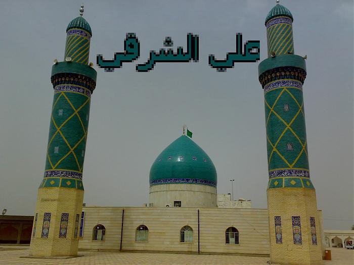
Al-Amarah is a city in southeastern Iraq, located on a low ridge next to the Tigris River waterway south of Baghdad, 50 km from the border with Iran. It lies at the northern tip of the marshlands between the Tigris and Euphrates. Predominantly Shiite, it had a population of about 420,000 as of 2005. It is the administrative capital of the Maysan province. A major trading center for the surrounding agricultural area, it is known for woven goods and silverware.
The city was founded in the 1860s as an Ottoman military outpost from which the empire tried to control the warring Banu Lam and Al Bu Muhammad tribes.
The city was founded in the 1860s as an Ottoman military outpost from which the empire tried to control the warring Banu Lam and Al Bu Muhammad tribes.
Wikipedia article: http://en.wikipedia.org/wiki/Amarah
Nearby cities:
Coordinates: 31°50'48"N 47°8'20"E
- Ahvaz 143 km
- Basra 149 km
- Abadan 190 km
- Bandar-e Mahshahr Port 235 km
- Al Jahra 279 km
- Al-Khafji 388 km
- Hafr Al-Batin 396 km
- Ras Al-Mishab 438 km
- Tanajib 464 km
- An'nuayriyah 491 km
- ash-Shabbaana region 0.6 km
- Section 28 0.6 km
- منطقة حجي عبد الثانية 1.2 km
- Al-Nidaa Neighborhood 1.9 km
- The new teachers’ neighborhood 2 km
- حي المعلمين الجديد 2.7 km
- Al-Biteera Water Project 2.8 km
- منطقة مغربة 2.8 km
- Amarah Airport 5.8 km
- Maysan Governorate 18 km