Main Gate/Sally Port (Baltimore, Maryland)
USA /
Maryland /
Baltimore /
Baltimore, Maryland
World
/ USA
/ Maryland
/ Baltimore
World / United States / Virginia
portal (architecture), gateway
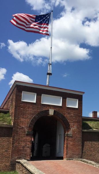
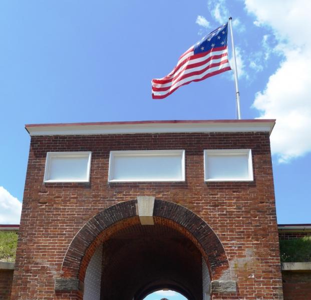
Entrance portal into Ft. McHenry.
Wikipedia article: http://en.wikipedia.org/wiki/Fort_McHenry
Nearby cities:
Coordinates: 39°15'48"N 76°34'46"W
- Carfrae Park West 569 km
- Gateway Medical Clinic (Columbia - St Mary's) 1044 km
- International Gateway Entrance - Epcot 1296 km
- Fort Abercrombie State Historic Site 1821 km
- Newport Gateway Park 1983 km
- Gateway 2790 km
- UPS Boeing Field Gateway 3753 km
- Temescal Gateway Park 3757 km
- Alascom AT&T Eagle River Gateway Earth Station 5382 km
- Tizi Zayat 6376 km
- Canton Industrial Area Waterfront 1.3 km
- North Locust Point Waterfront 1.3 km
- Locust Point Industrial Area 1.4 km
- Masonville Dredged Material Containment Facility & Masonville Cove Urban Wildlife Refuge 2 km
- Seagirt Marine Terminal 3.1 km
- Brooklyn 3.9 km
- Curtis Bay 4.2 km
- Brooklyn Park, Maryland 5.4 km
- Baltimore County, Maryland 19 km
- Anne Arundel County, Maryland 32 km
Canton Industrial Area Waterfront
North Locust Point Waterfront
Locust Point Industrial Area
Masonville Dredged Material Containment Facility & Masonville Cove Urban Wildlife Refuge
Seagirt Marine Terminal
Brooklyn
Curtis Bay
Brooklyn Park, Maryland
Baltimore County, Maryland
Anne Arundel County, Maryland