The Blue Lagoon
Malta /
Northern /
Mgarr /
World
/ Malta
/ Northern
/ Mgarr
World
water, lagoon
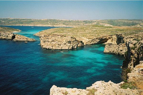


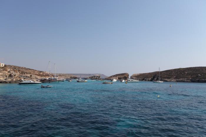


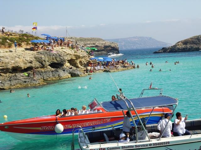
Between Comino and adjacent islet of Cominotto (Maltese: Kemmunett) lie the transparent, cyan waters of the Blue Lagoon (Maltese: Bejn il-Kmiemen, literally "Between the Cominos").
Nearby cities:
Coordinates: 36°0'51"N 14°19'24"E
- Mellieha Bay 3.8 km
- Marsamxett Harbour 19 km
- Grand Harbour 20 km
- Malta Channel 135 km
- TRIPOLI PARK CITY PROJECT 371 km
- Zawiya Oil Port Area 387 km
- Abu Kammash Seaport 403 km
- Lac de El Bibane 422 km
- Waaddah Almijanini Reservoir Lake 425 km
- Zarat reservoir 457 km
- Cominotto 0.3 km
- Large Blue Lagoon Rock 0.4 km
- Comino 1.2 km
- Hondoq Beach 1.5 km
- Mgarr Harbour 2.5 km
- Fort Chambray 2.9 km
- Gozo Heliport 4.8 km
- Gozo 6.8 km
- Ta' Sannat 7.3 km
- Malta 17 km
Comments