St Vital (Winnipeg, Manitoba)
Canada /
Manitoba /
Winnipeg /
Winnipeg, Manitoba
World
/ Canada
/ Manitoba
/ Winnipeg
World / Canada / Manitoba / Division No. 11
region, draw only border
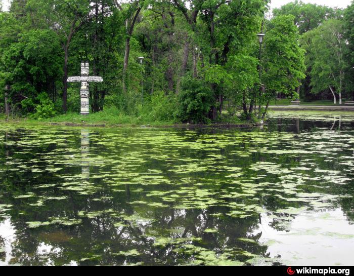
Incorporated as the City of St Vital in 1962, it merged into the City of Winnipeg 1972.
Nearby cities:
Coordinates: 49°49'47"N 97°6'26"W
- Northwest Angle 149 km
- Apostle Islands National Lakeshore 540 km
- Minnesota Valley State Park / Recreation Area 614 km
- Lansing Township, Allamakee County 836 km
- Lafayette Township, Allamakee County 849 km
- Taylor Township, Allamakee County 858 km
- Huckleberry Ridge Tuff Caldera 1216 km
- Grand Teton National Park 1228 km
- Great Divide Basin 1229 km
- Henry's Fork Caldera 1245 km
- Island Lakes 3.2 km
- Fort Richmond 4.7 km
- Sage Creek 5 km
- Linden Woods 6.1 km
- Richmond West 6.6 km
- Whyte Ridge 7.4 km
- Waveley West D 8.8 km
- Brady Road Landfill 11 km
- Vermillion Colony 26 km
- Beaudry Provincial Park 27 km