Burnside (Victoria)
Canada /
British Columbia /
Victoria
World
/ Canada
/ British Columbia
/ Victoria
neighbourhood
Add category
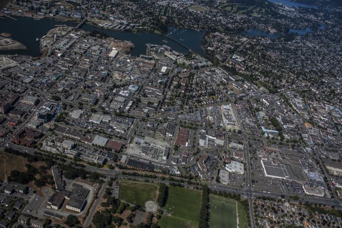
This expansive neighbourhood, stretching from the northern edge of downtown through Rock Bay to the city’s north and west limits along Harriet and Tolmie Streets and east to Blanshard Street, was for centuries home to First Nations whose campsites dotted the harbour shore. With European colonization this area soon hosted an extraordinary range of urban development, both industrial and residential. By the time the early estates were being subdivided for residential development, industry was firmly entrenched along the waterfronts of the Upper Harbour. Victoria Gas Co and the giant Albion Iron Works were manufacturing everything from stoves to boxcars, both were established in the Store/Pembroke Street area in 1862.
Wikipedia article: http://en.wikipedia.org/wiki/Victoria,_British_Columbia#Neighbourhoods_of_Victoria
Nearby cities:
Coordinates: 48°26'26"N 123°22'34"W
- Esquimalt 4.8 km
- Gordon Head 7 km
- Lands End 29 km
- Ballard 110 km
- Magnolia 111 km
- Lake City 112 km
- Queen Anne 114 km
- Industrial District 121 km
- Georgetown 125 km
- Seward Park Neighborhood 127 km
- Selkirk Waterfront 0.1 km
- Budget Steel 0.4 km
- Lafarge Canada 0.7 km
- Banfield Park 0.9 km
- Cedar Shores 1.4 km
- Bayview/Roundhouse Development 1.4 km
- Esquimalt High School 1.6 km
- The Gorge Waterway / Portage Inlet 1.9 km
- Tillicum 2.1 km
- Inner Harbour 2.3 km