St Vedast-Alias-Foster Church (London)
United Kingdom /
England /
London /
Foster Lane
World
/ United Kingdom
/ England
/ London
World / United Kingdom / England
church, Grade I Listed (UK), 17th century construction
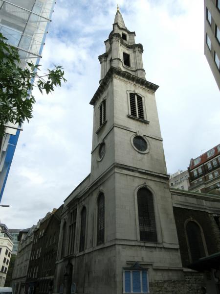
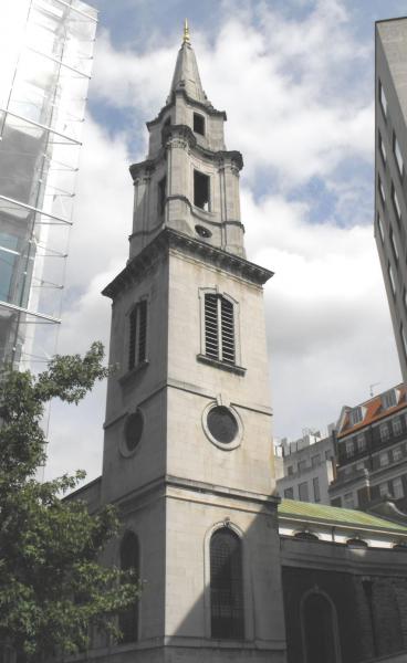
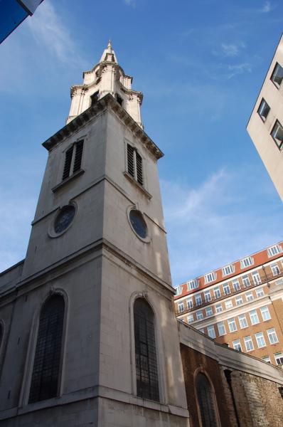
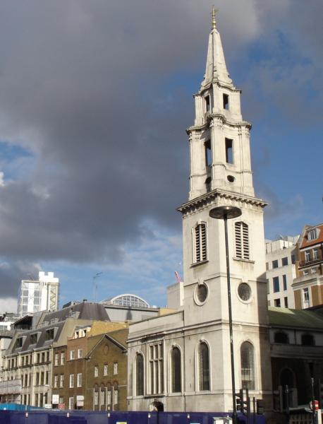
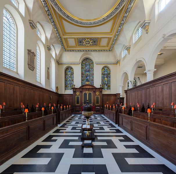
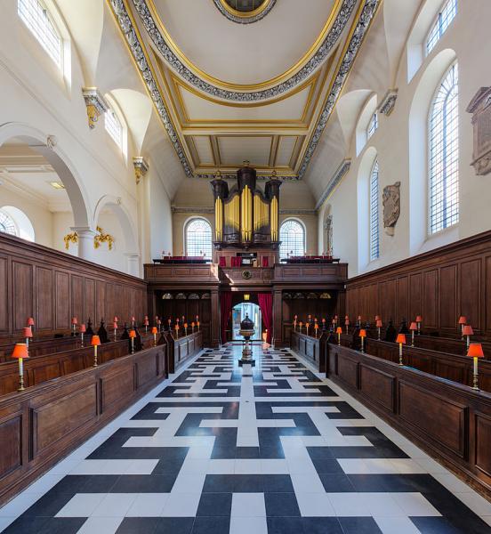
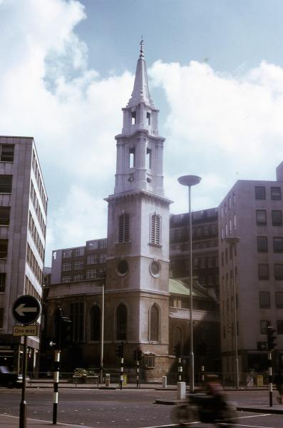
Wikipedia article: http://en.wikipedia.org/wiki/St_Vedast_Foster_Lane
Nearby cities:
Coordinates: 51°30'53"N -0°5'46"E
- St Paul's Cathedral 0.3 km
- St Bartholomew the Great 0.5 km
- St Mary & St Michael Roman Catholic Church 3 km
- St. Marylebone School 4 km
- Regent's Park Barracks 4.1 km
- St. Joan of Arc School 4.7 km
- St Dominic's Priory, Haverstock Hill 5.9 km
- St Joseph Catholic church, Highgate 6.8 km
- Moravian Church House 8.5 km
- Guy Chester Conference and Retreat Centre 10 km
- One New Change 0.1 km
- Bloomberg London 0.4 km
- Queenhithe 0.5 km
- Walled Perimeter of Roman Londinium 0.5 km
- Bank of England 0.5 km
- Cannon Street Railway Station 0.7 km
- Cannon Street Railway Bridge 0.8 km
- London Bridge 0.9 km
- Central London 1.8 km
- Regent’s canal 2.2 km