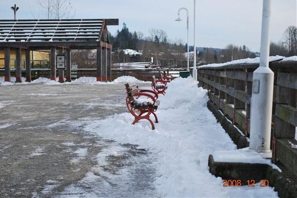
Port Haney Wharf
Canada /
British Columbia /
Walnut Grove /
World
/ Canada
/ British Columbia
/ Walnut Grove
World / Canada / British Columbia / Greater Vancouver
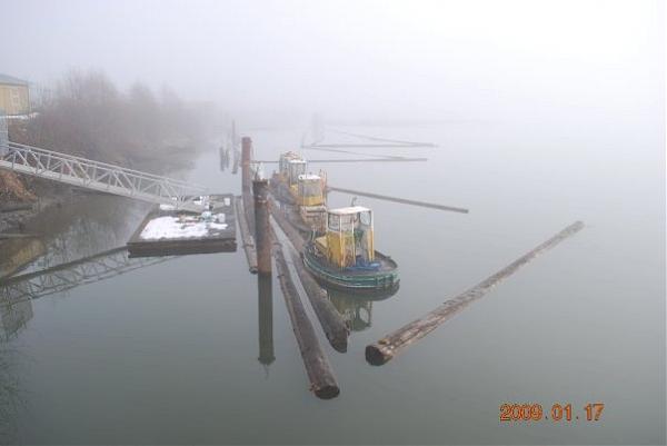
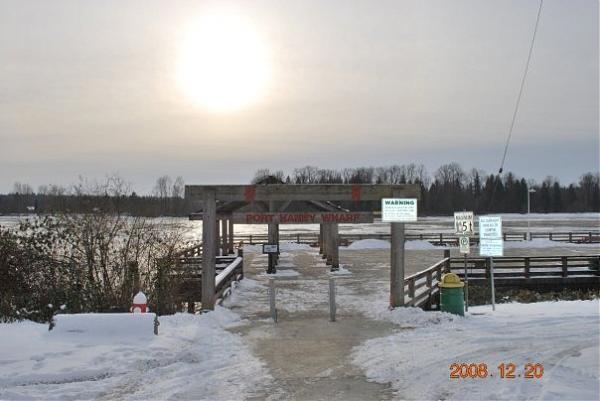
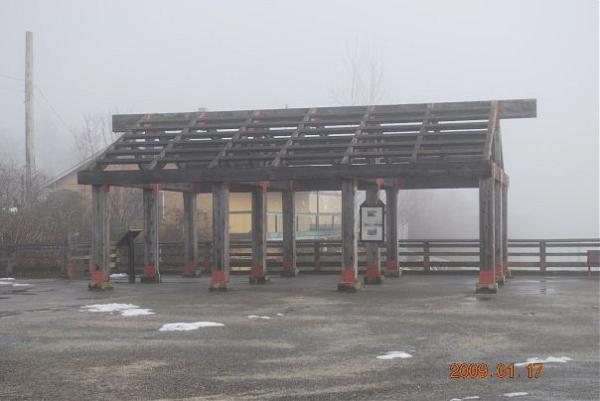
Historic Wharf where riverboats used to dock dropping off passengers in Port Haney before the Lougheed hwy was built in the 1930's.
=
=
Nearby cities:
Coordinates: 49°12'40"N 122°36'12"W
- Brae Island 2.8 km
- Maple Ridge Fairgrounds 3 km
- Albion Sports Fields 3.4 km
- Meadowridge School 3.7 km
- Laity Farm and Pumpkin Patch 3.9 km
- Northwest Langley Wastewater Treatment Plant 5.2 km
- Pitt Meadows Athletic Park 5.9 km
- Atkinson Point 12 km
- South Allouette Day Use Area 12 km
- Allouette Campground 16 km
- Maple Ridge Downtown Core 0.8 km
- Haney 1.1 km
- The Ridge 1.8 km
- Kanaka 2.2 km
- Albion 4.2 km
- McMillan Island 4.4 km
- Kanaka Creek Regional Park 6.1 km
- Thornhill 6.6 km
- Glenn Valley 12 km
- Langley, British Columbia 12 km