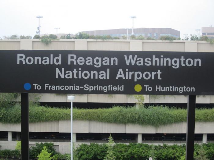
Ronald Reagan Washington National Airport (DCA/KDCA)
USA /
Maryland /
Forest Heights /
Smith Boulevard, 2401
World
/ USA
/ Maryland
/ Forest Heights
World / United States / Virginia
airport
Add category

2401 Smith Boulevard,
Arlington, VA 22202
www.flyreagan.com/
This airport was originally named Washington National Airport. It was renamed Ronald Reagan Washington National Airport in 1998. DC area residents commonly refer to it as "National", "Reagan", or just "DCA"
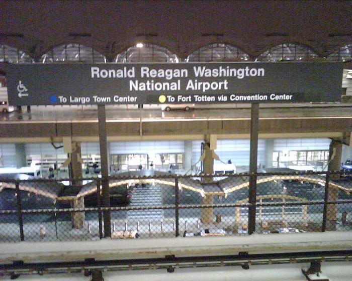
National airport is well connected to the DC metro area by Metrorail, the regional subway system. Taxis also are readily available, but charge according to their place of registration (District of Columbia or the states of Virginia or Maryland). Virginia cabs charge a lower rate than Maryland cabs, but generally will not go to a Maryland address.
Airplanes taking off from this airport are only permitted by the FAA to go to cities within 1,250 miles in the United States, with the notable exceptions of Denver, Las Vegas, Los Angeles, Phoenix, Salt Lake City, and Seattle. Noise pollution reduction measures also strictly limit flights arriving after 11:00 PM or before 7:00 AM to those aircraft with low noise levels.
It is located only minutes from Washington, and is therefore frequently used by people with business in the city, especially Congress, without whom the airport would have likely closed decades ago. A little-known perk is that there is a special parking lot for Members of Congress, so they do not have to shell out $18 per day for the parking garage like the common folk.
This airport is actually in Arlington, VA, but Google Maps seems to incorrectly identify this location as Alexandria. Arlington and Alexandria are separated in this area by a small stream called Four Mile Run, which flows into the Potomac River right at the southern boundary of the Airport property.
From after 9/11 until 2005, a "30-minute rule" was in effect for all flights taking off and landing here, meaning that no one was allowed to stand up at their seat within 30 minutes of the airport under penalty of emergency landing and arrest.
A great spot for watching airplanes (landing or departing, depending on the current winds) is located just north of the airport at Gravelly Point park. It's quite a thrill watching jets zoom by only 200ft overhead on short final.
Passengers may wish to choose a window seat on the right side of the plane for takeoff or left side for landings, in hopes that the winds will bring the plane over the city side on takeoff/approach, which affords passengers on that side of the plane with a beautiful panoramic view of the city from low altitude.
www.globalair.com/airport/airport.aspx?aptcode=KDCA
Arlington, VA 22202
www.flyreagan.com/
This airport was originally named Washington National Airport. It was renamed Ronald Reagan Washington National Airport in 1998. DC area residents commonly refer to it as "National", "Reagan", or just "DCA"
National airport is well connected to the DC metro area by Metrorail, the regional subway system. Taxis also are readily available, but charge according to their place of registration (District of Columbia or the states of Virginia or Maryland). Virginia cabs charge a lower rate than Maryland cabs, but generally will not go to a Maryland address.
Airplanes taking off from this airport are only permitted by the FAA to go to cities within 1,250 miles in the United States, with the notable exceptions of Denver, Las Vegas, Los Angeles, Phoenix, Salt Lake City, and Seattle. Noise pollution reduction measures also strictly limit flights arriving after 11:00 PM or before 7:00 AM to those aircraft with low noise levels.
It is located only minutes from Washington, and is therefore frequently used by people with business in the city, especially Congress, without whom the airport would have likely closed decades ago. A little-known perk is that there is a special parking lot for Members of Congress, so they do not have to shell out $18 per day for the parking garage like the common folk.
This airport is actually in Arlington, VA, but Google Maps seems to incorrectly identify this location as Alexandria. Arlington and Alexandria are separated in this area by a small stream called Four Mile Run, which flows into the Potomac River right at the southern boundary of the Airport property.
From after 9/11 until 2005, a "30-minute rule" was in effect for all flights taking off and landing here, meaning that no one was allowed to stand up at their seat within 30 minutes of the airport under penalty of emergency landing and arrest.
A great spot for watching airplanes (landing or departing, depending on the current winds) is located just north of the airport at Gravelly Point park. It's quite a thrill watching jets zoom by only 200ft overhead on short final.
Passengers may wish to choose a window seat on the right side of the plane for takeoff or left side for landings, in hopes that the winds will bring the plane over the city side on takeoff/approach, which affords passengers on that side of the plane with a beautiful panoramic view of the city from low altitude.
www.globalair.com/airport/airport.aspx?aptcode=KDCA
Wikipedia article: http://en.wikipedia.org/wiki/Ronald_Reagan_Washington_National_Airport
Nearby cities:
Coordinates: 38°51'5"N 77°2'24"W
- Washington Dulles International Airport (IAD/KIAD) 44 km
- Baltimore/Washington International Thurgood Marshall Airport (BWI/KBWI) 48 km
- Frederick Municipal Airport (KFDK) 71 km
- Martin State Airport (MTN/KMTN) 76 km
- Phillips Army Airfield (APG/KAPG) 102 km
- Eastern WV Regional Airport/Shepherd Field (MRB/KMRB) 104 km
- Hagerstown Regional Airport (HGR) 114 km
- Harrisburg International Airport (MDT) 152 km
- University Park Airport (UNV) 234 km
- Mid-State Regional Airport (KPSB) 245 km
- Crystal City 1.1 km
- National Landing 1.5 km
- Aurora Highlands 1.6 km
- Arlington Ridge 2.2 km
- Army Navy Country Club 3.2 km
- Potomac/Del Ray Alexandria 3.3 km
- Nauck 4.2 km
- Arlington County, Virginia 6.3 km
- Prince George's County, Maryland 15 km
- Fairfax County, Virginia 22 km
Comments