shelter
| military, bunker
Poland /
Pomorskie /
Ustka /
World
/ Poland
/ Pomorskie
/ Ustka
World / Poland / West Pomeranian
military, shelter, bunker

Nearby cities:
Coordinates: 54°33'46"N 16°40'2"E
- Wicko Morskie airfield 3.8 km
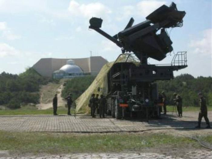
- Former SAM site. SA-2 Guideline 6 km
- Central Polish Air Force Range 7.4 km
- Jaroslawiec Highway Strip 12 km
- Military area 26 km
- Darlowko military airport (EPDA), an airbase of the Polish Navy in Żukowo Morskie 27 km
- Jednostka Marynarki Wojennej - byłej Baterii Artylerii Obrony Wybrzeża 69 km
- Taxiway 76 km
- Department of Defence Area 84 km
- Almegårds Kaserne 141 km
- Taxiway 2.8 km
- Taxiway 3.1 km
- Taxiway 3.6 km
- Taxiway 3.7 km
- Wicko 4.5 km
- Coast Guard 5.1 km
- Wind Farm 8 km
- Beach 8.2 km
- School 8.6 km
- Electrical substation 9 km