Brownsville, Texas
USA /
Texas /
Los Fresnos /
World
/ USA
/ Texas
/ Los Fresnos
World / United States / Texas
city, draw only border, county seat
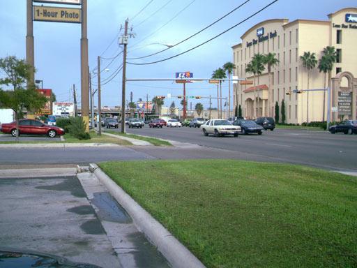
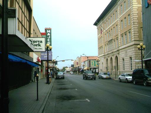
Brownsville a city in and the county seat of Cameron County, Texas, United States. The population was 186,738 at the 2020 census, making Brownsville the sixteenth most populous city in the state of Texas.
It is located on the southernmost tip of the Texas, United States on the northern bank of the Rio Grande, directly north and across the border from Matamoros, Tamaulipas, Mexico.
www.cob.us/
It is located on the southernmost tip of the Texas, United States on the northern bank of the Rio Grande, directly north and across the border from Matamoros, Tamaulipas, Mexico.
www.cob.us/
Wikipedia article: http://en.wikipedia.org/wiki/Brownsville,_Texas
Nearby cities:
Coordinates: 26°1'41"N 97°27'1"W
- Cameron Wind Farm 27 km
- Magic Valley Wind Farm 61 km
- Edinburg, Texas 91 km
- Gulf Wind Farm 111 km
- Los Mirasoles Wind Farm 120 km
- Los Vientos III Wind Farm 132 km
- Los Vientos IV Wind Farm 147 km
- Monterrey 301 km
- Port of Altamira 389 km
- Tampico 415 km
- Palo Alto Battlefield National Historic Park 1.3 km
- Loma Alta Lake 5.4 km
- Cameron Park, Texas 6.9 km
- Brownsville Golf Center 8.6 km
- Olmito, Texas 8.8 km
- Port of Brownsville 10 km
- Laureles, Texas 10 km
- Resaca de la Palma State Park 12 km
- Resaca de la Palma Reservoir 12 km
- Green Valley Farms, Texas 15 km