COJATA
Peru /
Puno /
Putina /
World
/ Peru
/ Puno
/ Putina
World / Peru / Puno / Huancane
village
Add category


COJATA's DISTRICT, HUANCANÉ's PROVINCE, PUNO's APARTMENT.
Does Cojata find oneself located in the coordinates 15°5'59"S 69°31'34"O. Según the INEI, Cojata you have 881.18 km's total surface. This district finds itself placed east of the Province of Huancané, at the north zone of the apartment of Puno and in the southern part of the Peruvian territory. His capital Cojata finds a height of 4364 msnm.
Acquaintance like CAPITAL of the BLUE SKY And ALPACAS' BIODIVERSIDAD OF COLOR or Villa of the Snows, Cojata was created 1854 1 de octubre, during the tender age of the Republic.
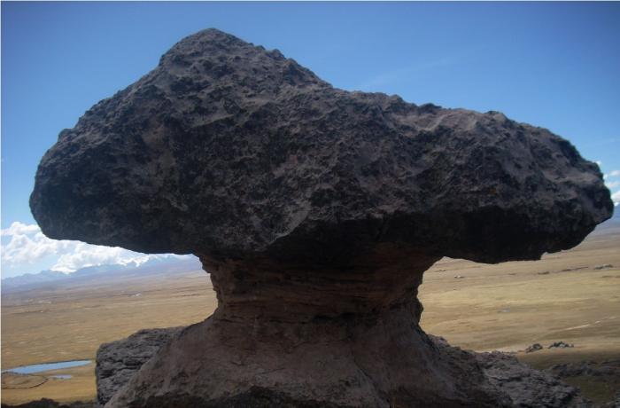
Tourist attractions: Mallcunuta's archeological remains at the hill can be present in Cojata.
Does Cojata find oneself located in the coordinates 15°5'59"S 69°31'34"O. Según the INEI, Cojata you have 881.18 km's total surface. This district finds itself placed east of the Province of Huancané, at the north zone of the apartment of Puno and in the southern part of the Peruvian territory. His capital Cojata finds a height of 4364 msnm.
Acquaintance like CAPITAL of the BLUE SKY And ALPACAS' BIODIVERSIDAD OF COLOR or Villa of the Snows, Cojata was created 1854 1 de octubre, during the tender age of the Republic.
Tourist attractions: Mallcunuta's archeological remains at the hill can be present in Cojata.
Wikipedia article: http://es.wikipedia.org/wiki/Distrito_de_Cojata
Nearby cities:
Coordinates: 15°0'48"S 69°21'50"W
- Cemetery 0.8 km
- Suches Lake 28 km
- Cordillera Apolobamba 28 km
- Dam 39 km
- Apachita Pura Pura (5,360 m /17,590 ft) 39 km
- Parinani Lake 40 km
- Stadium 43 km
- Barrio 20 De Enero 44 km
- Lake Titicaca 101 km
- Madidi National Park 158 km