Kulleet Bay
Canada /
British Columbia /
Ladysmith /
World
/ Canada
/ British Columbia
/ Ladysmith
World / Canada / British Columbia / Capital
water, bay
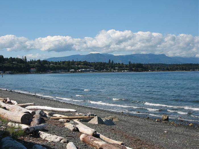
Kulleet Bay is the anglicized form of k'elits', the Hul'qumi'num name for this area (meaning sheltered area or protected bay). Kulleet Bay is sometimes referred to as Chemainus Bay. Located just south of Yellow Point, this was an important area for the Chemainus; it was not only a protected natural harbour but also was very rich in marine resources such as shellfish and (in season) herring. The permanent village here, named shts'emines, is the origin of the English name Chemainus.
Nearby cities:
Coordinates: 49°1'25"N 123°46'52"W
- Boundary Bay 53 km
- Howe Sound 77 km
- Hood Canal 127 km
- Toba Inlet 180 km
- Grays Harbor 222 km
- Loughborough Inlet 231 km
- Bute Inlet 233 km
- Masset Inlet 832 km
- wolf bay 1294 km
- crumb bay 1301 km
- Yellow Point 1 km
- Michael Lake 2.8 km
- Yellow Point Lodge 2.9 km
- Woodley Range Ecological Reserve 2.9 km
- Transfer Beach Park 4.1 km
- Cedar 5.4 km
- Regans 5.6 km
- Stocking Creek Park 7.6 km
- Stocking Lake 7.7 km
- Holland Lake 10 km