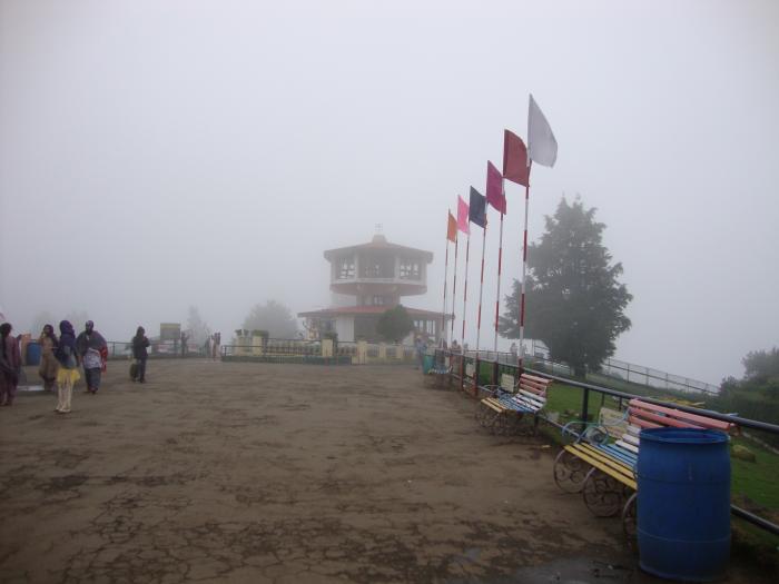
Doddabetta Peak
India /
Tamil Nadu /
Nilagiri /
World
/ India
/ Tamil Nadu
/ Nilagiri
World / India / Tamil Nadu / Nilgiris
mountain, peak, tourist attraction
Second highest peak in south India, Highest peak in Tamil Nadu. [This is questionable. As per Survey of India maps, the two following peaks - i) Meesapulimala and ii) another peak immediately to the north of Meesapulimala, (both in the Theni-Idukki border area) are quite possibly higher than Doddabetta, while also being on the Tamil Nadu - Kerala border. If true, Doddabetta would be the fourth highest peak in south India and the third highest peak in Tamil Nadu.]
It is also the highest peak highest peak of the Nilgiris and the highest in the Kaveri River Basin.
Doda means -> Huge.
Betta means -> Mountain.
In the local language.
www.vedantawakeup.com/highest-peaks-in-tamil-nadu-and-s...
It is also the highest peak highest peak of the Nilgiris and the highest in the Kaveri River Basin.
Doda means -> Huge.
Betta means -> Mountain.
In the local language.
www.vedantawakeup.com/highest-peaks-in-tamil-nadu-and-s...
Wikipedia article: http://en.wikipedia.org/wiki/Doddabetta
Nearby cities:
Coordinates: 11°24'3"N 76°44'8"E
- Lampton Peak 35 km
- Siruvani Mountains 50 km
- Elivai Malai (2088m), Kerala 52 km
- The peak of Banasuran kotta ബാണാസുരൻകോട്ട (2073m) 97 km
- Chockra Mudi (Chokanad Mala), Kerala - 2183m 157 km
- Hullugiri 255 km
- Ambaragudda 352 km
- Ghanchakkar 956 km
- Gagarya Dongar (1236m) 1068 km
- Fort Salher (1567m) 1081 km
- Namdari Seeds Buttercombai 1.6 km
- Chincona 2.9 km
- sn valley tea estate 45 Ac. 2.9 km
- Thummanatty 3 km
- r.v plantation 3.4 km
- Kenthorai Village 4.4 km
- KAPPACHY VILLAGE 4.9 km
- Baragala 5 km
- morigal village suresh lingan 5.1 km
- Ralliah Reserve Forest (Nilgiri South) 5.2 km
Comments