Interstate 95 Interchange 260
USA /
Florida /
Daytona Beach /
World
/ USA
/ Florida
/ Daytona Beach
World / United States / Florida
invisible, highway interchange / exit
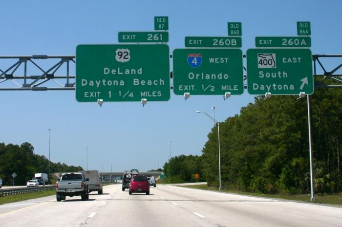
Interstate 4 west (State Route 400 west) / State Route 400 east – Orlando, South Daytona
Wikipedia article: http://en.wikipedia.org/wiki/Interstate_95_in_Florida
Nearby cities:
Coordinates: 29°9'27"N 81°4'37"W
- Florida's Turnpike - Exit 296 96 km
- Interstate 295 Exit 53 130 km
- Interstate 75 Interchange 274 169 km
- Interstate 75 Exit 261 / Interstate 4 Exit 9 178 km
- Interstate 75 Interchange 228 225 km
- Interstate 95 Interchange 87: State Road 706 263 km
- I-75, I-595, and SR-869 Interchange 344 km
- I-595 Exits 8B and 9 (US 441, SR 84) 352 km
- Golden Glades Interchange (I-95 Exit 12) 369 km
- Interstate 75 Interchange 1A/B (State Route 826) / Unmarked Exit 0 (Gratigny) 369 km
- Pelican Bay Subdivision and Apartments 2.2 km
- Daytona International Speedway 3.1 km
- Daytona Beach International Airport (DAB/KDAB) 3.1 km
- Indigo Lakes Golf Club 3.7 km
- Embry-Riddle Aeronautical University 4.5 km
- LPGA Golf Association Golf Course and Subdivision 5.2 km
- Interstate 95 Interchange 265 7.3 km
- Latitude Margaritaville - Daytona 8.5 km
- Tiger Branch State Forest - East 10 km
- Volusia County, Florida 20 km
Pelican Bay Subdivision and Apartments
Daytona International Speedway
Daytona Beach International Airport (DAB/KDAB)
Indigo Lakes Golf Club
Embry-Riddle Aeronautical University
LPGA Golf Association Golf Course and Subdivision
Interstate 95 Interchange 265
Latitude Margaritaville - Daytona
Tiger Branch State Forest - East
Volusia County, Florida