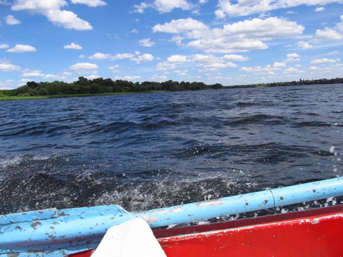
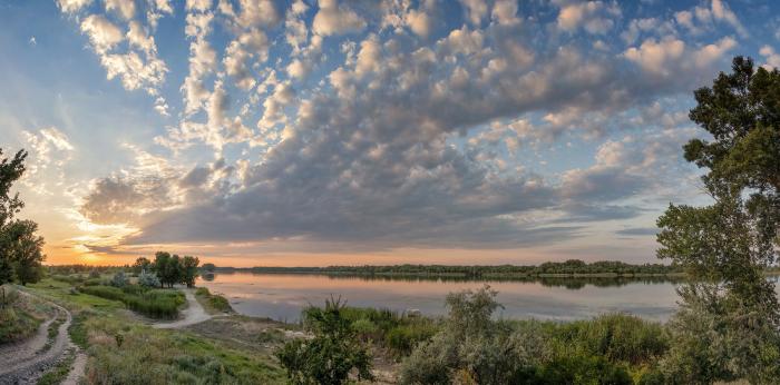
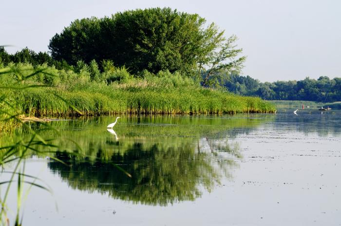
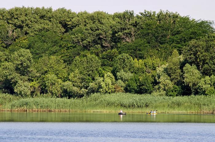
Brytany Island
Ukraine /
Khersonska /
Dnipryany /
World
/ Ukraine
/ Khersonska
/ Dnipryany
, 2 km from center (Дніпряни)
World / Ukraine / Kherson
island, uninhabited island, green area

The name is related to the former village of Brytany, which was located on the area of the current town of Dnipriany.
Nearby cities:
Coordinates: 46°45'32"N 33°15'34"E
- Karantyny island 62 km
- Bilohrudyi island 69 km
- Dzharylhach Island 95 km
- Tendrivska Kosa 141 km
- Tendrivska Kosa 141 km
- Stambulskiy island (Ukraine) 321 km
- Kubanu island (Ukraine) 321 km
- island Salmanovskiy 334 km
- Tătaru island (Romania) 353 km
- Kislitski Island 362 km
- Old cemetery 0.9 km
- Henhouse 1.2 km
- Poultry Farm 1.2 km
- Cemetery 1.4 km
- Sabetskyi Lyman 1.5 km
- Tyrlo 1.5 km
- Lake 2.1 km
- Lake 3.1 km
- Nova Kakhovka City Hromada 5.8 km
- Beryslav Raion 25 km