Eisenhower Bridge
USA /
Minnesota /
Red Wing /
US Route 63
World
/ USA
/ Minnesota
/ Red Wing
World / United States / Minnesota
truss bridge, road bridge

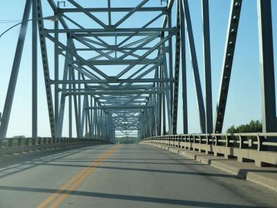
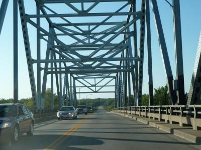

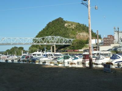
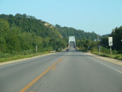
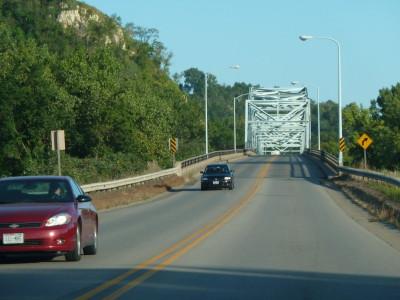
The Red Wing Bridge is a cantilever bridge which carries U.S. Route 63 across the Mississippi River.
Wikipedia article: http://en.wikipedia.org/wiki/Red_Wing_Bridge
Nearby cities:
Coordinates: 44°34'12"N 92°32'1"W
- Burlington Northern Santa Fe Des Moines Crossing at Swan 349 km
- Burlington and Missouri River Railroad Bridge (Original) 481 km
- Plattsmouth Bridge 482 km
- bridge railroad truss 610 km
- Powder River Bridge 1017 km
- Wind River Diversion Dam Bridge 1323 km
- Two Medicine River Bridge 1636 km
- Lake Britton Bridge 2396 km
- Springfield Bridge (North span) 2416 km
- Conde B. McCullough Memorial Bridge 2525 km
- Hager City, Wisconsin 3.5 km
- Frontenac State Park 15 km
- Welch Village Ski Area 16 km
- Lake Pepin 21 km
- Hok-Si-La Park 22 km
- Miesville Ravine Park Reserve 22 km
- Hiking Mountain 43 km
- Long Creek Management Unit ( State Forest Land) 43 km
- Zumbro Bottoms State Forest Land 44 km
- Northeast 54 km