Tlaxcala de Xicohtencatl
Mexico /
Tlaxcala /
World
/ Mexico
/ Tlaxcala
/ Tlaxcala
World / Mexico / Tlaxcala
capital city of state/province/region, invisible
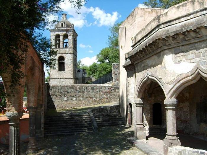
The city of Tlaxcala (in full, Tlaxcala de Xicoténcatl) is the capital and chief center of population of the Mexican state of Tlaxcala. The city is located at 19°31′N 98°24′W / 19.517°N 98.4°W / 19.517; -98.4 in the south-central portion of the state.
www.municipiotlaxcala.gob.mx/
www.municipiotlaxcala.gob.mx/
Wikipedia article: http://en.wikipedia.org/wiki/Tlaxcala,_Tlaxcala
Nearby cities:
Coordinates: 19°19'4"N 98°14'39"W
- Greater Puebla City 27 km
- Greater Guadalajara 581 km
- Oklahoma City, Oklahoma 1821 km
- Phoenix, Arizona 2140 km
- Nashville, Tennessee 2194 km
- Denver, Colorado 2385 km
- Columbus, Ohio 2728 km
- Bonao 2904 km
- Toronto, Ontario 3235 km
- Macapá 5542 km
- Sewage treatment plant 0.8 km
- CENTRO VACACIONAL LA TRINIDAD 11 km
- Santa Cruz Tlaxcala 11 km
- Xipetzingo 19 km
- Totolqueme Mount 21 km
- Miguel Aldama 23 km
- Españita 25 km
- Runway 01/19 26 km
- Atlangatepec Air Force Station 26 km
- Benito Juarez 36 km