Maly Ustyinsky Bridge (Moscow)
Russia /
Moscow /
Moscow
World
/ Russia
/ Moscow
/ Moscow
, 2 km from center (Москва)
World / Russia / Moscow City / Central
road bridge, 1938_construction, 2011_construction

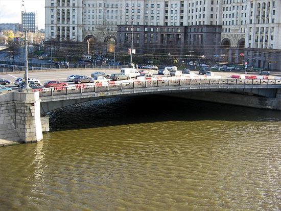
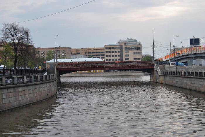
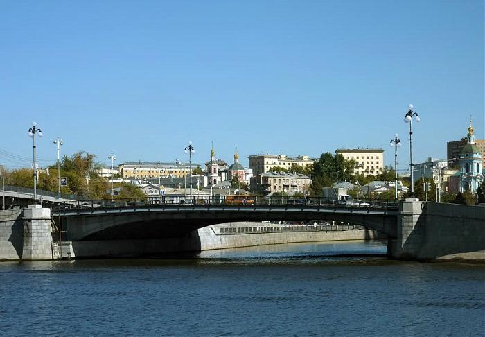
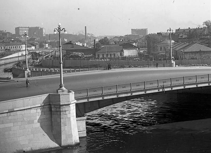

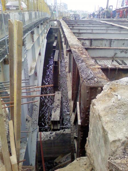
Spans right over the mouth of Yauza, continuing Moskvoretskaya Embankment into westward Kotelnicheskaya Embankment. Replaced the old steel bridge (1883). Built in 1938 by M.D.Gayvoronsky (structural engineering) and I.V.Tkachenko (architectural design). Total length 64.4 meters, width 40 meters (8 lanes), steel lattice type
Yandex panorama: yandex.ru/maps/-/CCU5JNqDPD
Yandex panorama: yandex.ru/maps/-/CCU5JNqDPD
Wikipedia article: http://en.wikipedia.org/wiki/Bolshoy_Ustinsky_Bridge
Nearby cities:
Coordinates: 55°44'49"N 37°38'25"E
- Bolshoy Ustyinsky Bridge 0.3 km
- Bolshoy Krasnokholmsky Bridge 0.9 km
- Bolshoy Kamenny Bridge under revamp 1.9 km
- Novospassky Bridge 2 km
- Novoarbatsky Bridge 4.6 km
- Avtozavodsky Bridge 4.7 km
- Luzhnetsky Metrobridge, Vorobyovy Gory station 6.4 km
- Zvenigorodskaya trestle 9 km
- Brateyevsky Bridge 13 km
- Zhivopisny Bridge 14 km
- The Peter the Great Military Academy of Strategic Missile Forces 0.4 km
- Kulishki 0.5 km
- 312-quarter Tagansky district CAO 0.9 km
- Balchug Island 1.1 km
- Zamoskvorechye District 1.4 km
- Bely Gorod ('The White Town') 1.4 km
- Zemlyanoy Gorod 1.4 km
- Tagansky District 1.8 km
- Tsentralny Administrative Okrug 1.8 km
- Basmanny District 2.9 km