Eierland Lighthouse
Netherlands /
Noord-Holland /
Texel /
Vuurtorenweg
World
/ Netherlands
/ Noord-Holland
/ Texel
World / Netherlands / Noord-Holland
lighthouse, listed building / architectural heritage, 1860s construction, tourist attraction
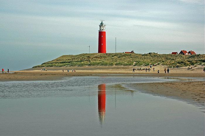
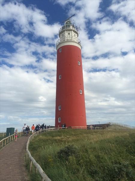
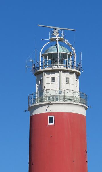
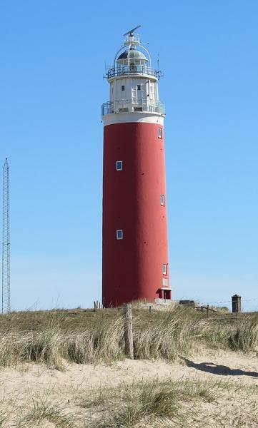
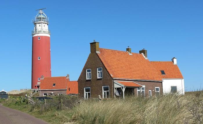
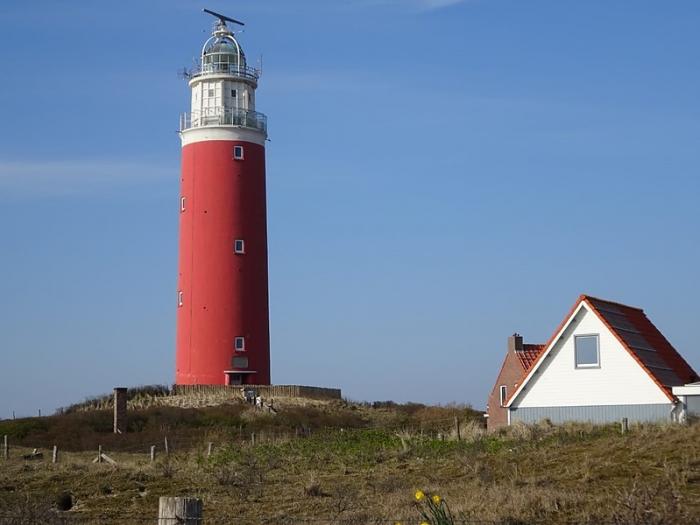
A lighthouse on the northernmost tip of the Dutch island of Texel. It is named for the former island Eierland.
Height 34.7 m (53.2 m above sea level).
Erected in 1863–1864 by Quirinus Harder.
During the Georgian Uprising of Texel of April 1945 the lighthouse suffered heavy damage. It was repaired by constructing a new wall around it and a new upper-level construction. In this process the lighthouse lost two of its original nine storeys.
Wikipedia article: http://en.wikipedia.org/wiki/Eierland_Lighthouse
Nearby cities:
Coordinates: 53°10'55"N 4°51'18"E
- De Koog light 10 km
- Ex Trinity House LV 08 Lightship 37 km
- Vuurtoren (lighthouse) 65 km
- Lowestoft Lighthouse 222 km
- Happisburgh Lighthouse 226 km
- Cromer Lighthouse 238 km
- Outer Dowsing North-westward 47/14 C1D 287 km
- Hunstanton Lighthouse 293 km
- Haile Sands Fort 323 km
- Withernsea Lighthouse 326 km
- Steenplaat 3.7 km
- Ballastplaat 4.1 km
- The Slufter 5.2 km
- De Vliehors 5.9 km
- Vlieland (municipality) 9 km
- Texel 11 km
- Vlieland 11 km
- Texel (municipality) 12 km
- Friesland (Fryslân) 51 km
- North Holland 55 km
Comments