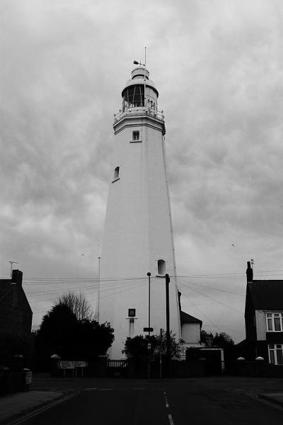
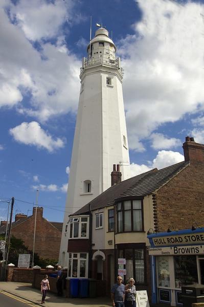
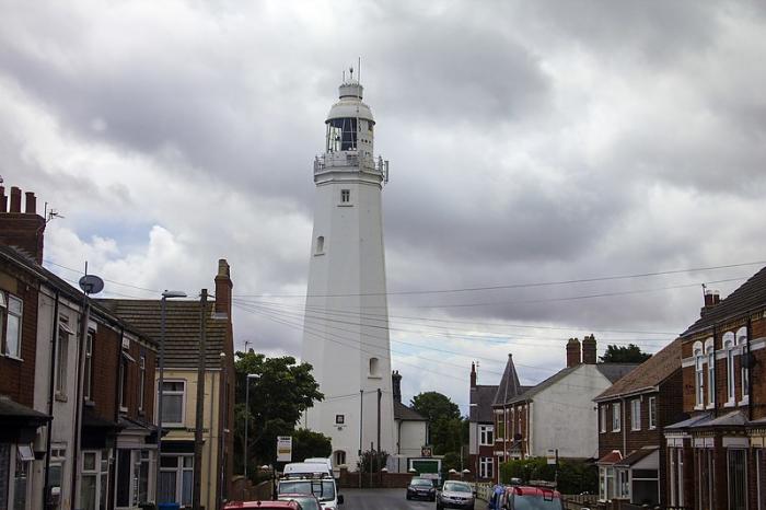
Withernsea Lighthouse (Withernsea)
United Kingdom /
England /
Withernsea
World
/ United Kingdom
/ England
/ Withernsea
World / United Kingdom / England
lighthouse, abandoned / shut down
Wikipedia article: http://en.wikipedia.org/wiki/Withernsea_Lighthouse
Nearby cities:
Coordinates: 53°43'51"N 0°1'43"E
- Haile Sands Fort 22 km
- Outer Dowsing North-westward 47/14 C1D 39 km
- Hunstanton Lighthouse 92 km
- Cromer Lighthouse 124 km
- Happisburgh Lighthouse 143 km
- Lowestoft Lighthouse 180 km
- De Koog light 321 km
- Vuurtoren (lighthouse) 330 km
- Ex Trinity House LV 08 Lightship 362 km
- Lighthouse 390 km
- Gas depot 10 km
- Spurn Head 14 km
- Thorpe Park 22 km
- Humber Estuary 24 km
- Former RAF North Coates 26 km
- RAF Donna Nook (Range) 28 km
- Covenham Reservoir 32 km
- Conisholme Wind Farm 34 km
- Saltfleetby-Theddlethorpe Dunes NNR 40 km
- Hornsea 2 Wind Farm 115 km