Maida Hill (London)
United Kingdom /
England /
London
World
/ United Kingdom
/ England
/ London
World / United Kingdom / England
historic district
Add category


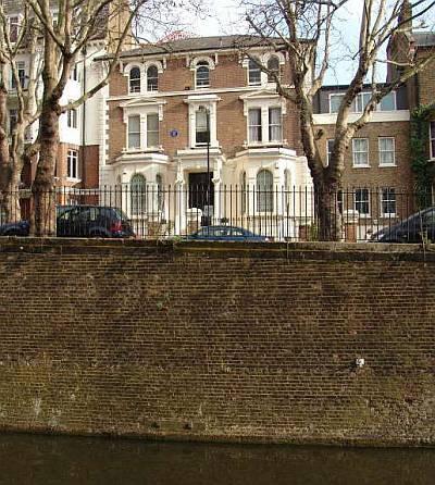
The area to the south-west of Maida Vale, at the western end of Elgin Avenue where it meets Harrow Road, was historically known as "Maida Hill", and was a recognised postal district bounded by the Avenues on the west, the Regent's Canal to the south, Maida Vale to the east and Kilburn Lane to the north. Parts of Maida Vale were also included within this.
Wikipedia article: http://en.wikipedia.org/wiki/Maida_Hill
Nearby cities:
Coordinates: 51°31'28"N -0°11'39"E
- Frestonia 2.2 km
- St Quintin Estate 2.4 km
- Ealing Common Conservation Area 7.5 km
- Aylestone 139 km
- The Lace Market 172 km
- Stepcote Hilll 250 km
- Whalley Range 256 km
- Carmunnock 545 km
- Old Town 923 km
- Warwick And Brindly Estate 0.4 km
- Amberley Estate 0.4 km
- West Kilburn 0.6 km
- Paddington Recreation Ground 0.7 km
- Westbourne Green 0.7 km
- Maida Vale 0.7 km
- South Kilburn Estate 0.8 km
- Kilburn 1.4 km
- St. John's Wood 1.6 km
- City of Westminster 2.5 km