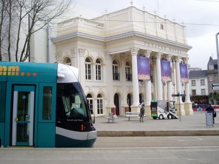
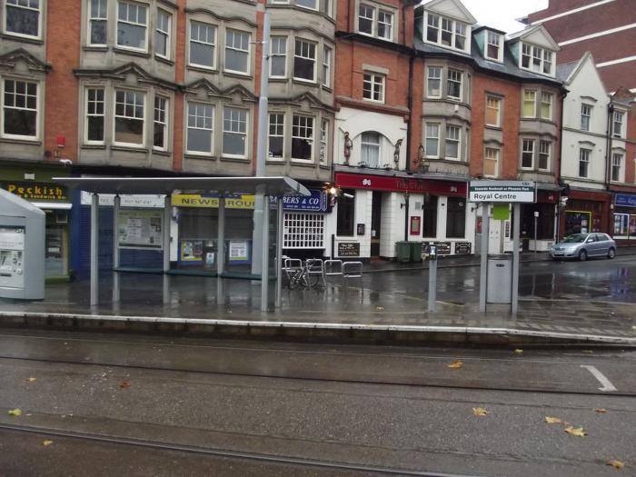
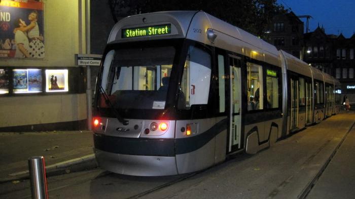
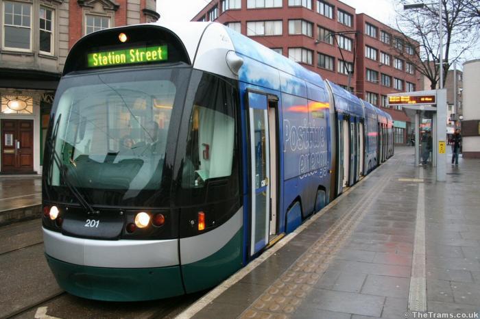
Royal Centre Tram Stop (Nottingham)
United Kingdom /
England /
Nottingham
World
/ United Kingdom
/ England
/ Nottingham
World / United Kingdom / England
tram stop
Add category


Wikipedia article: http://en.wikipedia.org/wiki/Nottingham_Express_Transit
Nearby cities:
Coordinates: 52°57'18"N 1°9'7"W
- Phoenix Park Park and Ride 5.4 km
- Stretford Metrolink station 94 km
- Bury Travel Interchange 104 km
- Blackpool Transport Services Bus and Tramcar depot 158 km
- Wimbledon Railway and Underground Station 182 km
- Elmers End Railway Station and Tram Stop 189 km
- Former Woodside Junction (abandoned) 190 km
- Addington Village Bus and Tram Interchange 194 km
- Luas Park & Ride 337 km
- Saggart Luas Terminus 355 km
- Old Market Square 0.2 km
- Victoria Centre 0.4 km
- Nottingham City Centre 0.5 km
- Nottingham Castle 0.6 km
- The Broadmarsh Centre 0.6 km
- Hockley 0.6 km
- Broadmarsh Bus Station & Car Park 0.7 km
- The Lace Market 0.7 km
- The Park Estate 0.8 km
- Trent House (Capital One) 1 km