Mount Mourgana / Stugarë (1806 m)
Greece /
Thesprotia /
Filiates /
World
/ Greece
/ Thesprotia
/ Filiates
, 21 km from center (Φιλιάτες)
World / Albania / Gjirokastër / Gjirokastrës
mountain, park, invisible

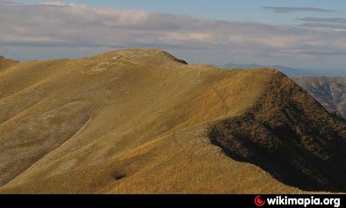

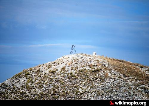
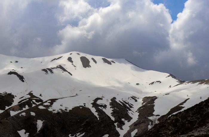

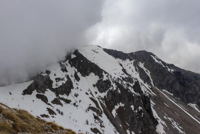
Mourgana (Greek: Μουργκάνα) is a mountain range. The southern and the eastern portions of the mountain are in Epirus in Greece and the northwestern portion is in Albania. Its peaks stand over 1,806 m.
The GR-28 (Ioannina - Delvinaki) is to the northeast and the SH4 is to the northwest. Its length is approximately 20 to 25 km from east to west and its width is approximately 15 km from north to south. A river emptying into the Ionian Sea in the Thesprotia prefecture lies to the east.
The GR-28 (Ioannina - Delvinaki) is to the northeast and the SH4 is to the northwest. Its length is approximately 20 to 25 km from east to west and its width is approximately 15 km from north to south. A river emptying into the Ionian Sea in the Thesprotia prefecture lies to the east.
Wikipedia article: http://en.wikipedia.org/wiki/Mourgana
Nearby cities:
Coordinates: 39°47'53"N 20°21'36"E
- Mountain Mitsikeli 29 km
- Mali i Gjerë 48 km
- Αthamanika Mountains (Tzoumerka) 66 km
- Kamvounia Mts 125 km
- Mali i Thatë (2287 m) 128 km
- Baba Mountain 154 km
- Mount Olympus 156 km
- Mount Vermio 162 km
- Pierian Mountains 169 km
- Nidzhe / Voras Mt. 181 km
- Water Reserve 10 km
- Vrisera Artificial Lake 10 km
- Dhivër Administrative Unit 14 km
- Livadhja Administrative Unit 14 km
- Mesopotam Administrative Unit 21 km
- Sarandë District 26 km
- Peripheral unit of Thesprotia 28 km
- Gjirokastër District 28 km
- Delvinë District 32 km
- Peripheral unit of Ioannina 38 km