Spring Lake (San Marcos, Texas)
USA /
Texas /
San Marcos /
San Marcos, Texas
World
/ USA
/ Texas
/ San Marcos
World / United States / Texas
historical layer / disappeared object
Add category
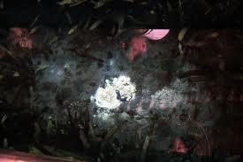
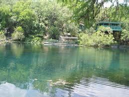
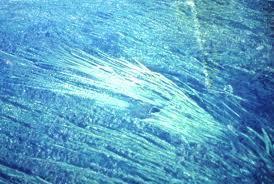
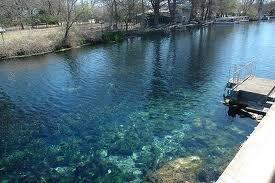
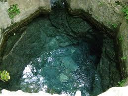
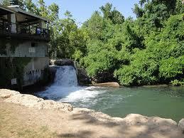
Spring Lake is formed from more than 200 springs, known as the San Marcos Springs. This area is thought to be one of the oldest continuously inhabited sites in North America. Excavations from below the lake uncovered artifacts that are more than 12,000 years old.
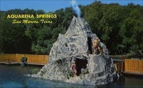
Also see: en.wikipedia.org/wiki/Aquarena_Springs
Also see: en.wikipedia.org/wiki/Aquarena_Springs
Wikipedia article: http://en.wikipedia.org/wiki/San_Marcos_Springs
Nearby cities:
Coordinates: 29°53'31"N 97°55'55"W
- Heep Ranch 28 km
- East Avenue 47 km
- Grass Pond Colony 73 km
- Approximate path of tornado in September 1988 84 km
- comanche running battle of brushy creek 1839 86 km
- Cable Ranch 86 km
- Former Navy Ordnance Plant 176 km
- Allens Creek Nuclear Plant and Reservoir 177 km
- Site of Cliff Maus Airport 240 km
- Location of Naval Auxiliary Air Station Rodd Field 254 km
- Aquarena Springs Golf Course 0.5 km
- Texas State University - San Marcos 0.8 km
- Prospect Park 3.6 km
- Purgatory Creek Natural Area 4.7 km
- H-E-B Distribution Center 4.8 km
- StoneCreek Crossing 6.3 km
- San Marcos Baptist Academy 6.5 km
- Freeman Ranch Body Farm (Texas State University) 7.8 km
- Freeman Ranch 8.8 km
- Little Arkansas 13 km