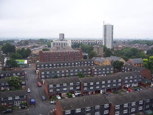
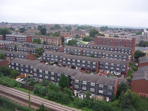
Landfield Estate (London)
| public housing estate
United Kingdom /
England /
London
World
/ United Kingdom
/ England
/ London
World / United Kingdom / England
draw only border, public housing estate
Nearby cities:
Coordinates: 51°33'27"N -0°3'59"E
- Clapton Park Estate 1.6 km
- Frampton Park Estate 1.6 km
- Gascoyne Estate 1.9 km
- Wenlock Barn Estate 3.1 km
- Beaumont Road Estate 3.9 km
- Elthorn Estate 4.7 km
- Lansbury estate 5.1 km
- Tower Gardens 5.3 km
- Teviot Estate 5.4 km
- Regents Park Estate 6.1 km
- Shacklewell 0.6 km
- Stoke Newington 0.8 km
- Lower Clapton 0.9 km
- Upper Clapton 1.1 km
- London Borough of Hackney 1.1 km
- Dalston 1.5 km
- Ball's Pond 1.5 km
- Stamford Hill 1.7 km
- Highbury 2.3 km
- London Borough of Islington 3.2 km