Scratchbury Camp
United Kingdom /
England /
Boreham /
World
/ United Kingdom
/ England
/ Boreham
World / United Kingdom / England
park, hill, hillfort, scheduled ancient monument
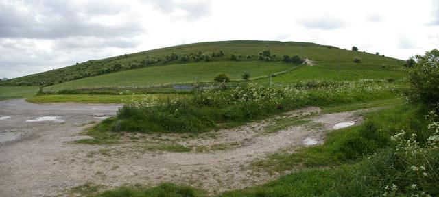
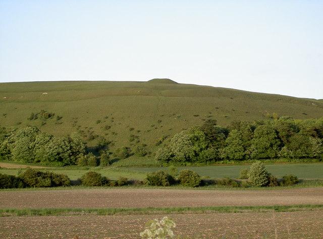
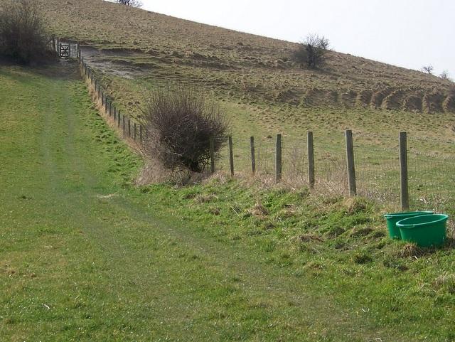
Scratchbury Camp is the site of an Iron Age univallate hillfort located on Scratchbury Hill, near the village of Norton Bavant in Wiltshire, England. The fort covers an area of 37 acres (15 ha)[1] and occupies the summit of the hill on the edge of Salisbury Plain, with its four-sided shape largely following the natural contours of the hill.
The Iron Age hillfort dates to around 100 BC, but contains the remains of an earlier and smaller D-shaped enclosure or camp. The age of this earlier earthwork is currently subject to debate, and has been variously interpreted due to the inconclusive and incomplete nature of previous and differing excavation records; it may be early Iron Age dating to around 250 BC, but it has also been interpreted as being Bronze Age, dating to around 2000 BC.
The Iron Age hillfort dates to around 100 BC, but contains the remains of an earlier and smaller D-shaped enclosure or camp. The age of this earlier earthwork is currently subject to debate, and has been variously interpreted due to the inconclusive and incomplete nature of previous and differing excavation records; it may be early Iron Age dating to around 250 BC, but it has also been interpreted as being Bronze Age, dating to around 2000 BC.
Wikipedia article: https://en.wikipedia.org/wiki/Scratchbury_Camp
Nearby cities:
Coordinates: 51°11'49"N 2°7'41"W
- Southleigh Woods 4.5 km
- Longleat Forest 9 km
- Black Dog Woods 11 km
- Longleat Woods 13 km
- Marston Park 16 km
- Orchardleigh Park 17 km
- Ammerdown Park 22 km
- Mells Park 22 km
- Asham Woods 22 km
- Newton Park Estate 31 km
- Norton Plantation 0.4 km
- Battlesbury Camp 1.9 km
- Land Warfare Centre 2.1 km
- Pepper Place 2.6 km
- Eastleigh Woods 3 km
- Southleigh Woods 3.9 km
- Longleat Forest 7.1 km
- The Salisbury Plain Training Area 15 km
- Salisbury Plain 16 km
- Cranborne Chase AONB 22 km