Port Haney/South Haney
Canada /
British Columbia /
Walnut Grove /
World
/ Canada
/ British Columbia
/ Walnut Grove
World / Canada / British Columbia / Greater Vancouver
neighbourhood, draw only border
Port Haney is the oldest part of Maple Ridge. It is comprised of the area around the Haney Wharf, then up 224th street to the Lougheed Highway. South Haney and Port Haney are usually talked about as one area.
Photos:
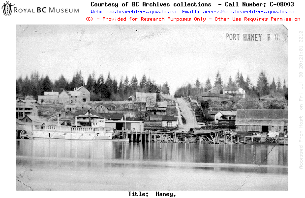
First photo: Port Haney, pictured between 1900 and 1920.
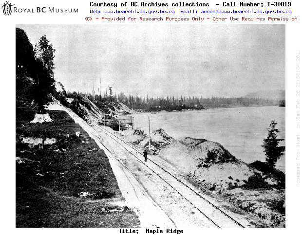
Second Photo: Future site of Port Haney, circa 1883.
Photos:
First photo: Port Haney, pictured between 1900 and 1920.
Second Photo: Future site of Port Haney, circa 1883.
Nearby cities:
Coordinates: 49°12'40"N 122°35'54"W
- Albion 1.6 km
- Thornhill 3.4 km
- Walnut Grove 6 km
- Allouette Valley 6.1 km
- Allco 6.8 km
- Whonnock 7.9 km
- Willoughby 8.8 km
- Ruskin 11 km
- Dunbar-Southlands 46 km
- Rutland 242 km
- Maple Ridge Downtown Core 0.7 km
- Derby Reach Regional Park 2.2 km
- Albion Flats 2.8 km
- Brae Island 3.8 km
- McMillan Island 4.2 km
- Kwantlen First Nation 4.9 km
- Kanaka Creek Regional Park 5.7 km
- Belmont Golf Course 6.2 km
- Glenn Valley 12 km
- Langley, British Columbia 12 km