Pylypets
Ukraine /
Zakarpatska /
Volovets /
с.Пилипець
World
/ Ukraine
/ Zakarpatska
/ Volovets
, 16 km from center (Воловець)
World / Ukraine / Transcarpathia
village, ski resort / area
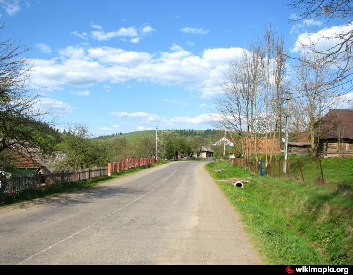
The village in the Mizhhirskyi Raion (district) of Zakarpatska Oblast (region) of Ukraine.
Founded in 1463.
Population - 1104 (2006).
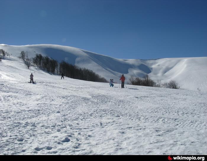
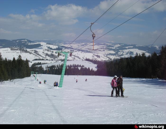
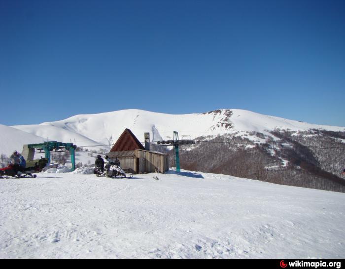
Here is a ski resort with a total length of more than 20,000 meters, descents of varying difficulty. The length of the longest trail is 4,000 m.
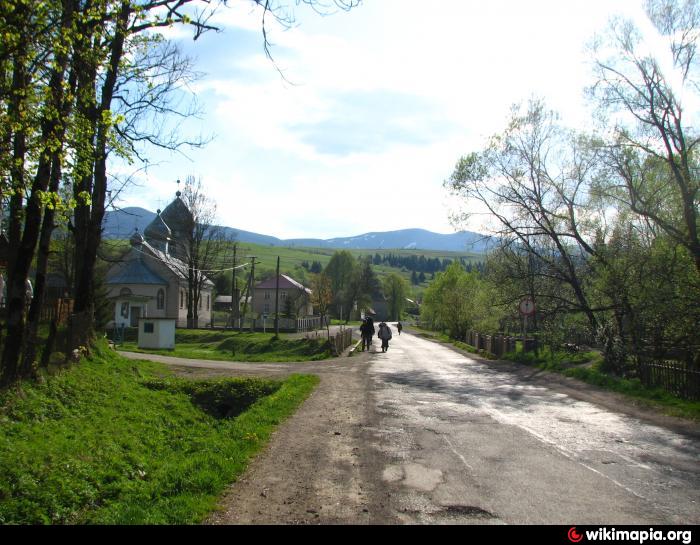
Here is the wooden church of the Nativity of the Blessed Virgin Mary with the iconostasis of the 18th century. A wooden bell-tower is located nearby.
Founded in 1463.
Population - 1104 (2006).
Here is a ski resort with a total length of more than 20,000 meters, descents of varying difficulty. The length of the longest trail is 4,000 m.
Here is the wooden church of the Nativity of the Blessed Virgin Mary with the iconostasis of the 18th century. A wooden bell-tower is located nearby.
Nearby cities:
Coordinates: 48°40'2"N 23°18'52"E
- Nyzhnyi Studenyi 6 km
- Huklyvyi 10 km
- Novoselytsia 11 km
- Pryslip 15 km
- Torun 18 km
- Senechiv 22 km
- Vyshkiv 24 km
- Synevyr 25 km
- Synevyrska Poliana 25 km
- Nehrovets 30 km
- Gemba Mountain 5.2 km
- m. Magura-Zhyde 5.7 km
- m. Velikiy Verh 6.7 km
- m. Hrab 7.2 km
- m. Kuchera Kruhla 10 km
- Ruins of a military unit 11 km
- Mizhhirya Raion 18 km
- Svaliava Raion 19 km
- Volovets Raion 21 km
- Irshava Raion 32 km