Cafe «Annan»
Syria /
al-Qunaytirah /
World
/ Syria
/ al-Qunaytirah
/ al-Qunaytirah
, 4 km from center (القنيطرة)
World / Israel
closed
Add category
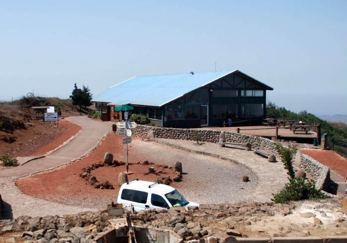
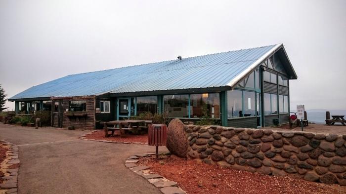
The coffee house on the top of Mt.Bental.
Nearby cities:
Coordinates: 33°7'42"N 35°47'8"E
- Baalbek Iaat airport (closed) 109 km
- Former Atarot Airport (JRS/LLJR) 150 km
- Completed section of road 166 km
- Completed section of road 168 km
- Mostly-completed section of road 168 km
- Runway 16/34 310 km
- Amiantos mine 333 km
- Tractor factory 367 km
- Nairit Chemicals Plant (does not operate) 1101 km
- Maleme Air Field 1131 km
- UNDOF Zone 7.1 km
- Military Zone 9 km
- Quneitra Governorate (PCS) 9 km
- Military Zone 10 km
- Military Zone 10 km
- Military Zone 13 km
- Golan Heights 14 km
- Golan Plateau 15 km
- Galilee Panhandle 18 km
- Horan Plain 47 km