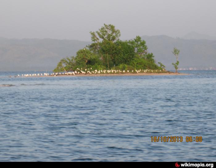
Can-adag Island.
Philippines /
Eastern Visayas /
General MacArthur /
World
/ Philippines
/ Eastern Visayas
/ General MacArthur
World / Philippines / Eastern Samar / Guiuan
Nearby cities:
Coordinates: 11°13'50"N 125°34'57"E
- Diyo Island 1.6 km
- Tan-awan 34 km
- Brgy. Can-abong 45 km
- Brgy Balacdas 52 km
- baliri 83 km
- Can-avid Poblacion 87 km
- SAPAO BEACH 91 km
- Santa Cruz 102 km
- hagna hit sugukan 130 km
- Libertad, Gamay, Northern Samar 137 km
- Matarinao Bay 1.5 km
- Anahao Island 3.7 km
- Sisi Island 4 km
- Capogpocanan Island 4.1 km
- Masisigni Island 5.8 km
- Hernani, Eastern Samar 11 km
- San Roque Bay 19 km
- Minaanod Island 23 km
- Cabay Bay 27 km
- Maydolong Poblacion 31 km
Comments