Pelham Bay
| neighbourhood, residential neighbourhood
USA /
New York /
Pelham Manor /
World
/ USA
/ New York
/ Pelham Manor
World / United States / New York
neighbourhood, residential neighbourhood
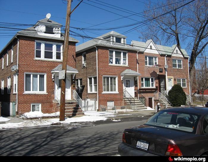
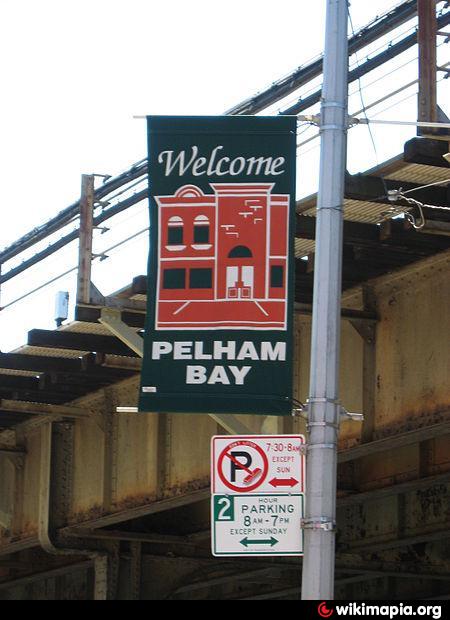
Pelham Bay is a residential neighborhood in the eastern part of the borough of the Bronx, in New York City. It is named for Pelham Bay Park, New York City's largest park which lies on the neighborhood's northeastern border.
The part of the neighborhood to the south of Middletown Rd. is often referred to as a sub-neighborhood by the name of Middletown; whilst, the part lying to the east of the Bruckner and Throgg's Neck Expressways along the shore of Eastchester Bay is a separate sub-neighborhood, known as "County Club".
Most of the neighborhood is land that was purchased by Thomas Pell in 1654, part of an original grant to the Dutch West India Company.Despite the name, the area that is now the Pelham Bay neighborhood was not part of the historical Town of Pelham, which consisted of the modern-day town of Pelham in Westchester County as well as Pelham Bay Park and City Island in the Bronx. The latter two areas were annexed by the City of New York in 1895.
Wikipedia article: http://en.wikipedia.org/wiki/Pelham_Bay,_Bronx
Nearby cities:
Coordinates: 40°50'43"N 73°49'31"W
- Throggs Neck 1.5 km
- Bayside 6.6 km
- Flushing 8.4 km
- Douglaston 8.9 km
- Little Neck 10 km
- Central Queens 11 km
- Queens Village 13 km
- Jamaica Center 14 km
- South Jamaica 16 km
- Broad Channel Island 23 km
- The Bronx 1.4 km
- Eastchester Bay 2.5 km
- St. Raymond's New Cemetery 2.6 km
- Throgs Neck Houses 2.7 km
- Pelham Bay Park 2.8 km
- Trump Golf Links at Ferry Point Park 3.6 km
- Hammond's Cove Marina 3.8 km
- Hammond's Cove 3.9 km
- Throgs Neck Bridge 5.3 km
- Long Island Sound 64 km